Higgins in Lipscomb County, Texas — The American South (West South Central)
Higgins
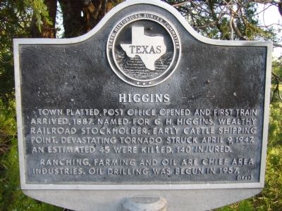
Photographed by Bill Kirchner, May 2, 2012
1. Higgins Marker
Ranching, farming, and oil are chief area industries. Oil drilling was begun in 1957.
Erected 1967 by State Historical Survey Committee. (Marker Number 2474.)
Topics. This historical marker is listed in this topic list: Settlements & Settlers. A significant historical date for this entry is April 9, 1947.
Location. 36° 7.013′ N, 100° 1.884′ W. Marker is in Higgins, Texas, in Lipscomb County. It is at the intersection of Commercial Street (U.S. 60) and County Road 29, on the right when traveling west on Commercial Street. Marker is in a road side park. Touch for map. Marker is in this post office area: Higgins TX 79046, United States of America. Touch for directions.

Regionally, this marker is on the Texas Panhandle. It is also on the American Great Plains and specifically on the Southern Plains. Globally, it is in North America, a Gulf of Mexico state, the Western Hemisphere, the Western
this page online
Other nearby markers. At least 4 other markers are within 2 miles of this marker, measured as the crow flies: Will Rogers (here, next to this marker); Quanah Parker Trail (a few steps from this marker); Higgins Cemetery (approx. one mile away); Lipscomb County (approx. 1.7 miles away).
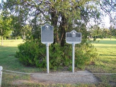
Photographed by Bill Kirchner, May 2, 2012
2. Higgins Marker on the right
Will Rogers Marker is on the left
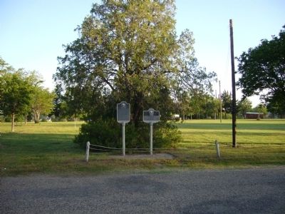
Photographed by Bill Kirchner, May 2, 2012
3. Will Rogers and Higgins Markers
Credits. This page was last revised on December 1, 2024. It was originally submitted on May 28, 2012, by Bill Kirchner of Tucson, Arizona. This page has been viewed 923 times since then and 33 times this year. Photos: 1, 2, 3. submitted on May 28, 2012, by Bill Kirchner of Tucson, Arizona. • Bernard Fisher was the editor who published this page.
