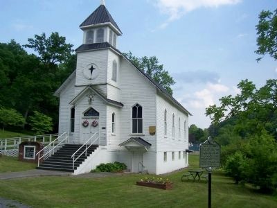
Sam Black Church in Greenbrier County, West Virginia — The American South (Appalachia)
Sam Black Church
Inscription.
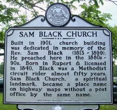
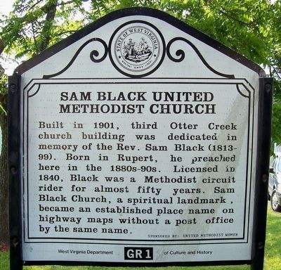
Built in 1901, church building was dedicated in memory of the Rev. Sam Black (1813 - 1899). He preached here in the 1880s - 90s. Born in Rupert & licensed in 1840, Black was a Methodist circuit rider almost fifty years. Sam Black Church, a spiritual landmark, became a place name on highway maps without a post office by the same name.
Erected 2009 by West Virginia Archives & History.
Topics and series. This historical marker is listed in this topic list: Churches & Religion. In addition, it is included in the West Virginia Archives and History series list. A significant historical year for this entry is 1901.
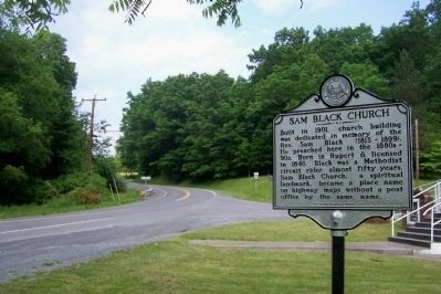
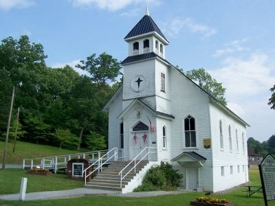
Location. 37° 53.925′ N, 80° 37.85′ W. Marker is in Sam Black Church, West Virginia, in Greenbrier County. Marker is on Midland Trail W Road (U.S. 60) near junction with Sam Black Church Road (County Route 60/5), on the right when traveling east. In front of the church. About a 1/2 mile south of Interstate 64 exit 156. Touch for map. Marker is in this post office area: Smoot WV 24977, United States of America. Touch for directions.
Other nearby markers. At least 8 other markers are within 7 miles of this marker, measured as the crow flies. Greenbrier Ghost (approx. ¼ mile away); Maxon Sand (approx. 3.6 miles away); Rupert (approx. 4.3 miles away); Blue Sulphur Springs Confederate Burial Ground (approx. 4.8 miles away); The Pavilion (approx. 4.9 miles away); Blue Sulphur Springs, WV (approx. 4.9 miles away); Andrew & Charles Lewis March (approx. 5.2 miles away); Unknown Soldiers/ Gen. Lewis' Trace (approx. 6.7 miles away).
Credits. This page was last revised on June 16, 2016. It was originally submitted on December 10, 2011, by Forest McDermott of Masontown, Pennsylvania. This page has been viewed 1,574 times since then and 83 times this year. Last updated on May 28, 2012, by Forest McDermott of Masontown, Pennsylvania. Photos: 1. submitted on May 28, 2012, by Forest McDermott of Masontown, Pennsylvania. 2. submitted on December 10, 2011, by Forest McDermott of Masontown, Pennsylvania. 3. submitted on May 28, 2012, by Forest McDermott of Masontown, Pennsylvania. 4. submitted on December 10, 2011, by Forest McDermott of Masontown, Pennsylvania. 5. submitted on May 28, 2012, by Forest McDermott of Masontown, Pennsylvania. • Bill Pfingsten was the editor who published this page.
