East Falls Church in Arlington in Arlington County, Virginia — The American South (Mid-Atlantic)
East Falls Church Station
Inscription.
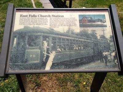
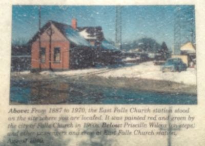
In August 1940, when this photograph was taken, passenger service on the Washington & Old Dominion was losing money and was being phased out. Passenger service stopped altogether in April 1941, but resumed two years later to support the national war effort.
The United States' involvement in World War II greatly increased the local workforce at the same time that gas rationing curtailed private automobile use. Complaints from local citizens - and orders from the federal government - brought service back in 1943. Eight years later the W&OD made its last passenger run.
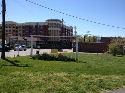
Erected by The Washington & Old Dominion Railroad Regional Park - Northern Virginia Regional Park Authority.
Topics and series. This historical marker is listed in this topic list: Railroads & Streetcars. In addition, it is included in the NOVA Parks, and the Washington and Old Dominion (W&OD) Railroad series lists. A significant historical month for this entry is April 1941.
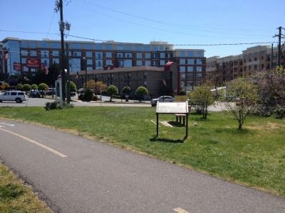
Location. 38° 53.246′ N, 77° 9.763′ W. Marker is in Arlington, Virginia, in Arlington County. It is in East Falls Church. Marker can be reached from the intersection of Langston Boulevard (U.S. 29) and Fairfax Drive, on the right when traveling south. Located south of the Washington & Old Dominion Railroad Trail bridge crossing Lee Highway. Touch for map. Marker is at or near this postal address: 6918 Little Falls Church, Arlington VA 22205, United States of America. Touch for directions.
Other nearby markers. At least 8 other markers are within walking distance of this marker. East Falls Church (about 500 feet away, measured in a direct line); Presidential Visit to Falls Church, 1911 (approx. 0.2 miles away); Pearson's Funeral Home (approx. 0.2 miles away); Crossman House (approx. 0.3 miles away); Original Federal Boundary Stone, District of Columbia, Southwest 9 (approx. 0.4 miles away); Benjamin Banneker Park Playground (approx. 0.4 miles away); City of Falls Church Veterans Memorial (approx. half a mile away); WWI Memorial (approx. half a mile away). Touch for a list and map of all markers in Arlington.
Credits. This page was last revised on February 1, 2023. It was originally submitted on June 3, 2012, by Craig Swain of Leesburg, Virginia. This page has been viewed 1,210 times since then and 55 times this year. Photos: 1, 2, 3, 4. submitted on June 3, 2012, by Craig Swain of Leesburg, Virginia.


