Canyon in Randall County, Texas — The American South (West South Central)
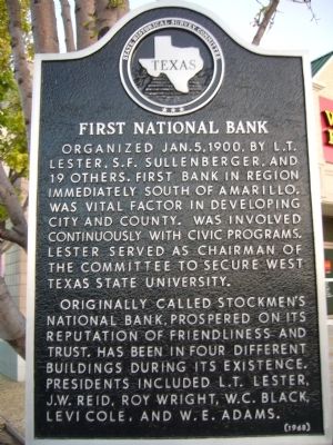
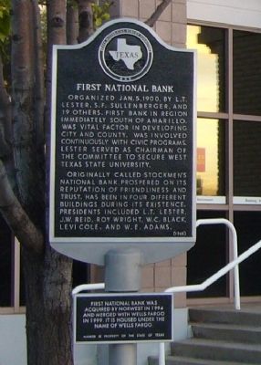
First National Bank
Originally, called Stockmen's National Bank, prospered on its reputation of friendliness and trust. Has been in four different buildings during its existence. Presidents included L.T. Lester, J.W. Reid, Roy Wright, W.C. Black, Levi Cole, and W.E. Adams.
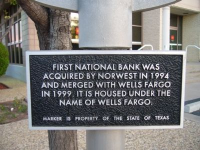
(lower plaque)
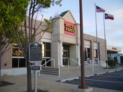
First National Bank was acquired by Norwest in 1994 and merged with Wells Fargo in 1999. It is housed under the name of Wells Fargo.
Erected 1968 by State Historical Survey Committee. (Marker Number 1780.)
Topics. This historical marker is listed in these topic lists: Industry & Commerce • Settlements & Settlers. A significant historical date for this entry is January 5, 1943.
Location. 34° 58.797′ N, 101° 55.216′ W. Marker is in Canyon, Texas, in Randall County. Marker is at the intersection of 4th Avenue (State Highway 217) and 22nd Street, on the right when traveling west on 4th Avenue. Touch for map. Marker is at or near this postal address: 2111 4th Avenue, Canyon TX 79015, United States of America. Touch for directions.
Other nearby markers. At least 8 other markers are within walking distance of this marker. Roof with Snow / Kimbrough House (about 800 feet away, measured in a direct line); Mary E. Hudspeth House (approx. 0.2 miles away); Shirley House (approx. 0.2 miles away); The Charles Goodnight Memorial Trail (approx. 0.2 miles away); T-Anchor Ranch (approx. ¼ mile away); First Methodist Church (approx. ¼ mile away); Georgia O'Keeffe in Canyon (approx. ¼ mile away); First Baptist Church (approx. 0.3 miles away). Touch for a list and map of all markers in Canyon.
Credits. This page was last revised on June 16, 2016. It was originally submitted on June 4, 2012, by Bill Kirchner of Tucson, Arizona. This page has been viewed 586 times since then and 40 times this year. Photos: 1, 2, 3, 4. submitted on June 4, 2012, by Bill Kirchner of Tucson, Arizona. • Bernard Fisher was the editor who published this page.


