Chicopee in Hampden County, Massachusetts — The American Northeast (New England)
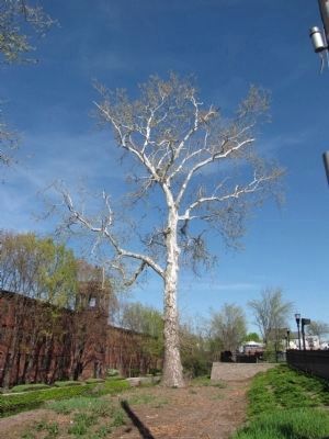
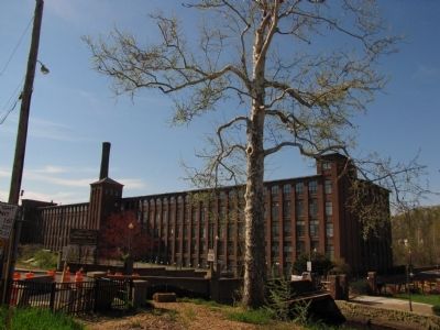
The Cabotville Sycamores
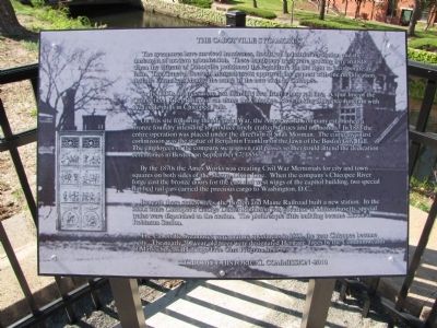
The sycamores have survived hurricanes, floods, an industrial revolution and the onslaught of modern urbanization. These handsome trees were growing here in 1848 when the citizens of Cabotville petitioned the legislature for the right to incorporate as a town. The General Court of Massachusetts approved the request with one modification that the lawmakers change the name of the new town to Chicopee.
In the 1850s the trees were less than fifty feet from a busy rail line. A spur line of the Connecticut River Railroad ran along the Chicopee River linking Chicopee Junction with the textile mills in Chicopee Falls.
On this site following the Mexican War, the Ames Sword Company established a bronze foundry intending to produce finely crafted statues and memorials. In 1853 the entire operation was placed under the direction of Silas Mosman. The company's first commission was the statue of Benjamin Franklin on the lawn of the Boston City Hall. The employees of the company were given rail passes so they could attend the dedication ceremonies in Boston on September 17, 1856.
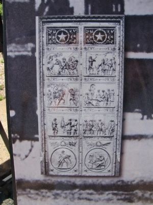
By the 1870s the Ames Works was creating Civil War Memorials for city and town squares on both sides of the Mason-Dixon Line. When the company's Chicopee River forge cast the bronze doors for the east and west wings of the capitol building, two special flat bed rail cars carried the precious cargo to Washington, D.C..
Beneath these stately trees, the Boston and Maine Railroad built a new station. In the 1880s while Chicopee's George Dexter Robinson was governor of Massachusetts, special trains were dispatched to the station. The picturesque little building became known as Robinson Station.
The Cabotville Sycamores were mature specimens in 1890, the year Chicopee became a city. The nearly 200 year old trees were designated Heritage Trees by the Commonwealth of Massachusetts' Heritage Tree Care Program in 1999.
Erected 2010 by Chicopee Historical Commission.
Topics. This historical marker is listed in these topic lists: Horticulture & Forestry • Industry & Commerce • Railroads & Streetcars. A significant historical month for this entry is September 1832.
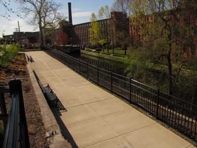
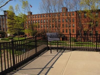
Location. 42° 8.938′ N, 72° 36.417′ W. Marker is in Chicopee, Massachusetts, in Hampden County. Marker is at the intersection of Front Street and Center Street (Massachusetts Route 116), on the right when traveling west on Front Street. Located at the entrance to the Chicopee Center Canal Walk across the street from City Hall. Touch for map. Marker is in this post office area: Chicopee MA 01013, United States of America. Touch for directions.
Other nearby markers. At least 8 other markers are within walking distance of this marker. Cabotville Canal (a few steps from this marker); Roll of Honor (within shouting distance of this marker); The Chicopee City Hall (within shouting distance of this marker); Honor the Brave (about 300 feet away, measured in a direct line); Veterans Memorial (approx. ¼ mile away); Korean War Memorial (approx. 0.7 miles away); Vietnam War Memorial (approx. 0.7 miles away); World War Memorial (approx. 0.7 miles away). Touch for a list and map of all markers in Chicopee.
Credits. This page was last revised on June 16, 2016. It was originally submitted on June 6, 2012, by Lee Hattabaugh of Capshaw, Alabama. This page has been viewed 643 times since then and 47 times this year. Photos: 1, 2, 3, 4, 5, 6. submitted on June 6, 2012, by Lee Hattabaugh of Capshaw, Alabama. • Bill Pfingsten was the editor who published this page.
