West Point in Orange County, New York — The American Northeast (Mid-Atlantic)
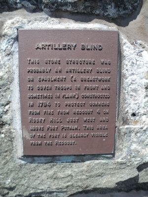
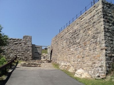
Artillery Blind
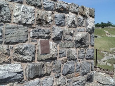
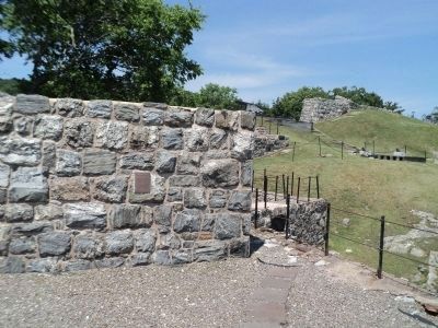
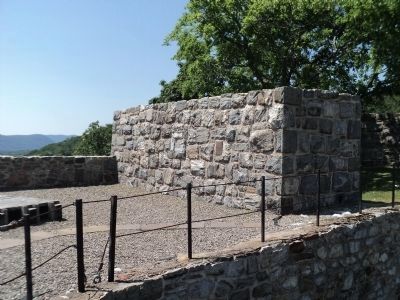
This stone structure was probably an artillery blind or epaulment (a breastwork to cover troops in front and sometimes in flank) constructed in 1794 to protect gunners from fire from redoubt 4 on Rocky Hill just west and above Fort Putnam. This area of the fort is clearly visible from the Redoubt.
Topics. This historical marker is listed in this topic list: Forts and Castles. A significant historical year for this entry is 1794.
Location. 41° 23.376′ N, 73° 57.821′ W. Marker is in West Point, New York, in Orange County. Marker can be reached from Delafield Road when traveling north. Marker is located inside Fort Putnam on the grounds of the United States Military Academy. Touch for map. Marker is in this post office area: West Point NY 10996, United States of America. Touch for directions.
Other nearby markers. At least 8 other markers are within walking distance of this marker. The Beverly Robinson House (here, next to this marker); Forts Webb, Wyllys and Meigs (a few steps from this marker); North and South Redoubts (a few steps from this marker); Fort Putnam (within shouting distance of this marker); Cannon (within shouting distance of this marker); Casemates (within shouting distance of this marker); Fort Arnold (within shouting distance of this marker); Artillery and Mortars (within shouting distance of this marker). Touch for a list and map of all markers in West Point.
Credits. This page was last revised on June 16, 2016. It was originally submitted on June 9, 2012, by Bill Coughlin of Woodland Park, New Jersey. This page has been viewed 522 times since then and 25 times this year. Photos: 1, 2, 3, 4, 5, 6. submitted on June 9, 2012, by Bill Coughlin of Woodland Park, New Jersey.
