Pittston in Luzerne County, Pennsylvania — The American Northeast (Mid-Atlantic)
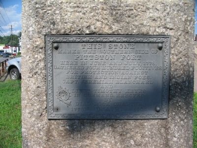
Pittston Fort
marks the southern side of
Pittston Fort
here in June and July 1778,
gathered four hundred fugitives
for protection against
British and Indian foes.
Capt. Jeremiah Blanchard
and
Lieut. Timothy Keyes
in commnd. Erected
by
Dial Rock Chapter
D.A.R.
1778 - 1906
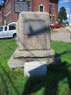
Erected 1906 by Dial Rock Chapter, Daughers of the American Revolution.
Topics and series. This historical marker is listed in these topic lists: Forts and Castles • War, US Revolutionary. In addition, it is included in the Daughters of the American Revolution series list. A significant historical month for this entry is July 1778.
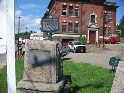
Location. 41° 19.768′ N, 75° 47.253′ W. Marker is in Pittston, Pennsylvania, in Luzerne County. Marker is at the intersection of North Main Street and Parsonage Street, on the right when traveling north on North Main Street. Touch for map. Marker is in this post office area: Pittston PA 18640, United States of America. Touch for directions.
Other nearby markers. At least 8 other markers are within walking distance of this marker. A different marker also named Pittston Fort (here, next to this marker); Jenkins Fort (approx. 0.3 miles away); a different marker also named Jenkins' Fort (approx. 0.3 miles away); Sam Miceli Veterans' Memorial Park (approx. 0.3 miles away); The Greater Pittston Coal Miner (approx. 0.3 miles away); 1st Lieutenant Jeffrey Frank DePrimo (approx. 0.4 miles away); Our Hometown Heroes (approx. 0.4 miles away); Corporal Dale Justin Kridlo (approx. 0.4 miles away). Touch for a list and map of all markers in Pittston.
Credits. This page was last revised on June 16, 2016. It was originally submitted on August 20, 2008, by Craig Swain of Leesburg, Virginia. This page has been viewed 1,677 times since then and 33 times this year. Last updated on June 14, 2012, by Sharleen Palaima of Pittston, Pennsylvania. Photos: 1, 2, 3. submitted on August 20, 2008, by Craig Swain of Leesburg, Virginia.


