West Point in Orange County, New York — The American Northeast (Mid-Atlantic)
Redoubt Four
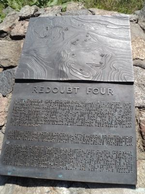
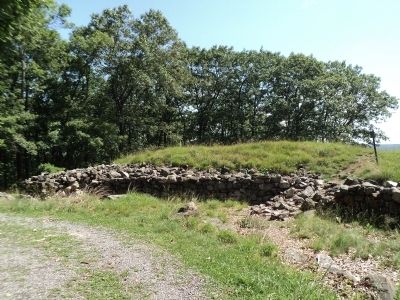
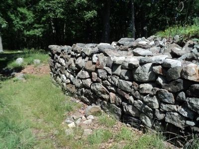
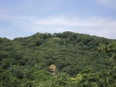
In 1778, Thaddeus Kosciuszko designed Redoubt 4 to protect Fort Putnam (visible in the foreground) against British fire from this hill (Rocky Hill). American soldiers built Redoubt 4 in 1779. In 1780, Benedict Arnold described it as “ . . . a wooden work about 10 feet high and fore or five feet thick, the west side faced with a stone wall 8 feet high and four thick, no bomb proof, two six pounders, a slight abattis, a commanding piece of ground 500 yards [west].” An estimated 100 soldiers, excluding artillerymen, were needed to man the fortification.
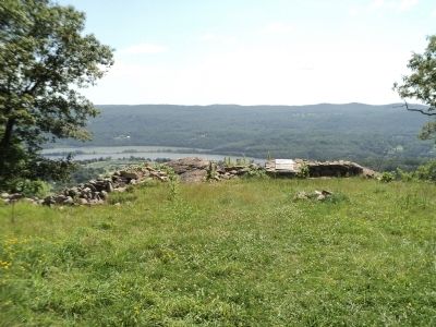
In 1975 and 1976, during the Bicentennial of the American Revolution, archeologists partially restored Redoubt 4. The shape of the fort resembles Ephraim Sargent’s sketch rather than Kosciuszko’s proposed plan.
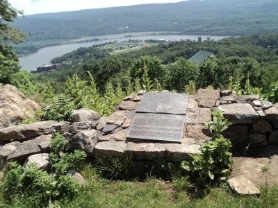
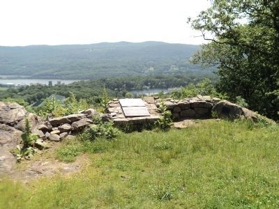
The remains of West Point's main bastion, Fort Clinton (originally Fort Arnold), can be seen at the eastern tip of the plain below. To the left and across the river is Constitution Island, the site of the first fortifications in the area. The eastern redoubts were built on the high ground across the river; the western redoubts were built on the hills to the south and west of this redoubt.
Topics. This historical marker is listed in these topic lists: Forts and Castles • War, US Revolutionary. A significant historical year for this entry is 1778.
Location. 41° 23.406′ N, 73° 58.35′ W. Marker is in West Point, New York, in Orange County. Marker can be reached from Patrick Trail, on the right when traveling north. Marker is located on the grounds of the United States Military Academy, at the end of a walking trail north of Patrick Trail. Touch for map. Marker is in this post office area: West Point NY 10996, United States of America. Touch for directions.
Other nearby markers. At least 8 other markers are within walking distance of this marker. Redoubt Number Four (here, next to this marker); The American Revolution at West Point (within shouting distance of this marker); Western Redoubts 1, 2, 3 and 4 (approx. 0.4 miles away); Bronze Field Guns (approx. 0.4 miles away); McLean Historical Museum Building (approx. 0.4 miles away); Original Embrasure (approx. 0.4 miles away); Archeology, 1974 (approx. half a mile away); Constitution Island Redoubts (approx. half a mile away). Touch for a list and map of all markers in West Point.
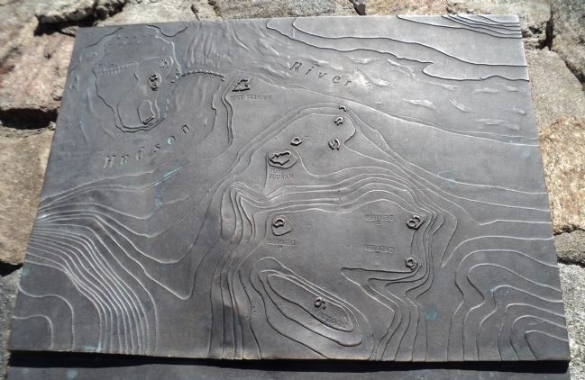
More about this marker. The top portion of the marker contains a topographical map showing the locations of the fortifications located at West Point. These include Redoubts 1, 2, 3, and 4, Forts Putnam and Clinton, and the fortifications on Constitution Island on the other side of the Hudson River. The Great Chain between Constitution Island and the area of Fort Clinton is also shown.
Photographed By Bill Coughlin, June 15, 2012
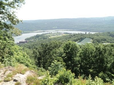
6. View from Marker
The site of Fort Clinton can be seen on the bank of the Hudson River, marked by the Kosciuszko monument (center of photo). The location of Fort Putnam is partially obscured by the trees, but the flagpole is visible at the right center of the photo.
Photographed By Bill Coughlin, June 8, 2012
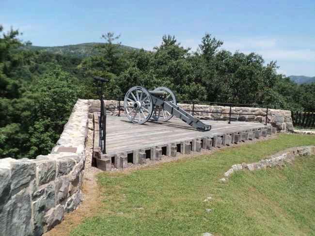
10. Artillery in Fort Putnam
This cannon is located in Fort Putnam. The spotting scope seen to the left of the cannon is pointed at Redoubt Four, which was the most important fortification for the defense of Fort Putnam. Photo 9 was taken from the site of the cannon.
Credits. This page was last revised on February 6, 2021. It was originally submitted on June 15, 2012, by Bill Coughlin of Woodland Park, New Jersey. This page has been viewed 546 times since then and 26 times this year. Last updated on February 5, 2021, by Carl Gordon Moore Jr. of North East, Maryland. Photos: 1, 2, 3, 4, 5, 6, 7, 8, 9, 10. submitted on June 15, 2012, by Bill Coughlin of Woodland Park, New Jersey. • Michael Herrick was the editor who published this page.
