Stoney Creek in Hamilton, Ontario — Central Canada (North America)
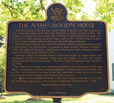
The Nash-Jackson House
The Nash-Jackson House, once named Grandview, with its Loyalist Neo-Classic style of architecture, was built adjacent to a one-storey frame structure which was erected in 1794. The later served as a field hospital following the Battle of Stoney Creek on June 6, 1813 and was demolished in 1910.
Significant interior architectural features of the home include the original Adam style mantelpiece and built-in cupboards which flank the fireplace, the early 19th century staircase and the floral wall stencilling. The Classical Revival porticoes were installed in the 1930s.
The Nash-Jackson House was owned and occupied by five generations of the same family. Leone (Nash) Jackson, great-granddaughter of Susannah and Samuel Nash, died in 1996. She had lived in the house all her life, raised three children on the family farm and was a prominent member of the Stoney Creek community.
,br> The Jackson family deeded the house to the City of Stoney Creek due to its historic and architectural significance. It was moved to Battlefield Park November 7, 1999.
Erected 2007 by Hamilton Historical Board.
Topics. This historical marker is listed in these topic lists: Settlements & Settlers • War of 1812. A significant historical date for this entry is June 6, 1813.
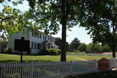
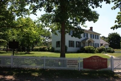
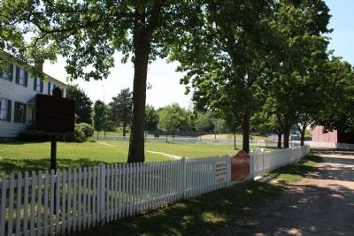
Location. 43° 13.08′ N, 79° 46.024′ W. Marker is in Stoney Creek, Ontario, in Hamilton. Marker can be reached from King Street West east of Centennial Parkway South. This historic marker is located at Battlefield Park, along the park's entrance driveway that leads to the parking lot, in front of the Nash-Jackson House, just behind the white picket fence surrounding the front and west side of the structure. Touch for map. Marker is in this post office area: Stoney Creek ON L8G, Canada. Touch for directions.
Other nearby markers. At least 8 other markers are within 3 kilometers of this marker, measured as the crow flies. Battle of Stoney Creek (within shouting distance of this marker); Battlefield House (about 90 meters away, measured in a direct line); a different marker also named Battle of Stoney Creek (about 150 meters away); Their Fame Liveth (about 150 meters away); Billy Green Monument (about 210 meters away); The Battlefield of Stoney Creek (about 210 meters away); Augustus Jones (C. 1757-1836)
(approx. 1.1 kilometers away); Hamilton Aviation History (approx. 2.6 kilometers away). Touch for a list and map of all markers in Stoney Creek.
Credits. This page was last revised on June 16, 2016. It was originally submitted on June 28, 2012, by Dale K. Benington of Toledo, Ohio. This page has been viewed 1,432 times since then and 159 times this year. Photos: 1, 2, 3, 4. submitted on June 28, 2012, by Dale K. Benington of Toledo, Ohio.


