Plymouth in Washington County, North Carolina — The American South (South Atlantic)
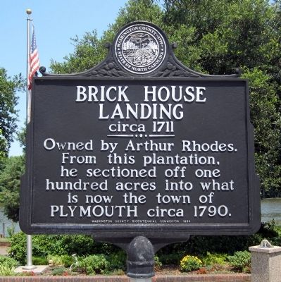
Brick House Landing
circa 1711
Erected 1999 by Washington County Bicentennial Commission.
Topics. This historical marker is listed in this topic list: Settlements & Settlers. A significant historical year for this entry is 1790.
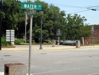
Location. 35° 52.035′ N, 76° 45.059′ W. Marker is in Plymouth, North Carolina, in Washington County. Marker is at the intersection of Water Street and Washington Street, on the right when traveling west on Water Street. Touch for map. Marker is in this post office area: Plymouth NC 27962, United States of America. Touch for directions.
Other nearby markers. At least 8 other markers are within walking distance of this marker. Augustin Daly (about 500 feet away, measured in a direct line); Cushing’s Torpedo (about 500 feet away); Washington County Courthouse (about 600 feet away); Hampton Academy (about 600 feet away); Washington County North Carolina Supreme Sacrifice and Veterans Memorial (about 700 feet away); Battle of Plymouth (about 700 feet away); Ram Albemarle (about 700 feet away); Rt. Rev. Alfred Augustin Watson (approx. 0.2 miles away). Touch for a list and map of all markers in Plymouth.
Credits. This page was last revised on January 20, 2020. It was originally submitted on July 2, 2012, by Bernard Fisher of Richmond, Virginia. This page has been viewed 539 times since then and 53 times this year. Photos: 1, 2. submitted on July 2, 2012, by Bernard Fisher of Richmond, Virginia.

