Mohawk in Herkimer County, New York — The American Northeast (Mid-Atlantic)
Site of Fort Herkimer
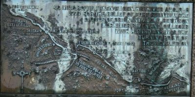
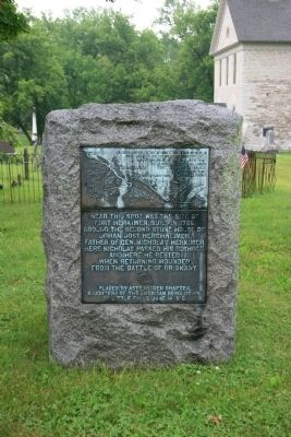
— 40 mile route taken by Gen. Herkimer Aug. 3-6, 1777 —
Fort Herkimer, built in 1756,
around the second stone house of
Johan Jost Herchheimer,
Father of Gen. Nicholas Herkimer.
Here Nicholas passed his boyhood,
and here he rested
when returning wounded
from the Battle of Oriskany.
Erected 1912 by the Astenrogen Chapter, Daughters of the American Revolution, Little Falls,. (Marker Number 3.)
Topics and series. This historical marker is listed in these topic lists: Forts and Castles • War, US Revolutionary. In addition, it is included in the Daughters of the American Revolution, and the General Herkimer's 40 Mile March series lists. A significant historical year for this entry is 1777.
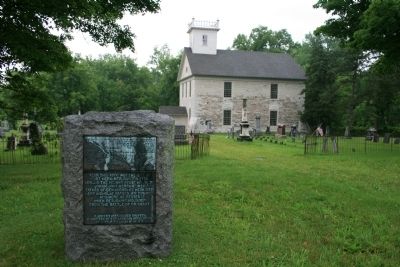
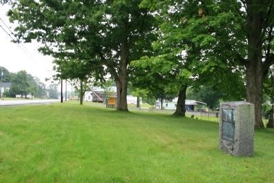
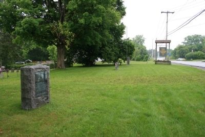
Location. 43° 1.06′ N, 74° 57.258′ W. Marker is in Mohawk, New York, in Herkimer County. Marker is on New York State Route 5S west of Plantation Road (County Route 212A), on the left when traveling east. This historic marker is located on the grounds of the historic Fort Herkimer Church, between the southern boundary of the church cemetery and the state highway 5S. There are two "40 Mile March of General Herkimer" markers that are located in this area and this particular marker is located at the western end of the grounds between the church cemetery and the state highway. Touch for map. Marker is in this post office area: Mohawk NY 13407, United States of America. Touch for directions.
Other nearby markers. At least 8 other markers are within 2 miles of this marker, measured as the crow flies. Lieutenant Adam F. Helmer (a few steps from this marker); Here Was Born Nicholas Herkimer (a few steps from this marker); Fort Herkimer (within shouting distance of this marker); a different marker also named Fort Herkimer (approx. 0.3 miles away); General Nicolas Herrhheimer (approx. 1.9 miles away); Fred'ck Staring (approx. 1.9 miles away); Early Village Burying Ground (approx. 1.9 miles away); The Thirty-Fourth Regiment (approx. 1.9 miles away). Touch for a list and map of all markers in Mohawk.
Regarding Site of Fort Herkimer. This historical marker is part of a series of historical markers that mark the 40 mile route taken by Gen. Herkimer Aug. 3-6, 1777 for the relief of Fort Stanwix, that resulted in the Battle of Oriskany. Some historians believe that this battle, fought between Herkimer's Patriots with his Oneida allies and St. Leger's Loyalists with their Indian allies, was the turning point of the Revolutionary War.
Related markers.
Click here for a list of markers that are related to this marker. To better understand the relationship, study each marker in the order shown.
Credits. This page was last revised on June 16, 2016. It was originally submitted on July 10, 2012, by Dale K. Benington of Toledo, Ohio. This page has been viewed 648 times since then and 21 times this year. Photos: 1, 2, 3, 4, 5, 6. submitted on July 10, 2012, by Dale K. Benington of Toledo, Ohio.

