El Dorado Springs in Cedar County, Missouri — The American Midwest (Upper Plains)
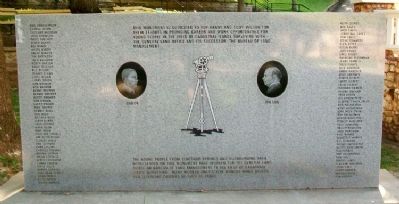
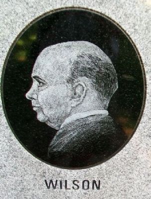
Roy Bandy and Eddy Wilson
This monument is dedicated to Roy Bandy and Eddy Wilson for their efforts in providing career and work opportunities for young people in the field of cadastral (land) surveying with the General Land Office and its successor, the Bureau of Land Management.
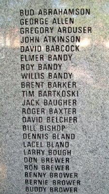
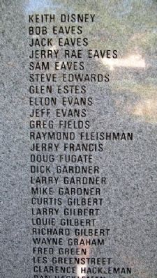
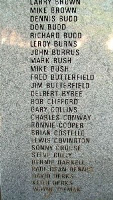
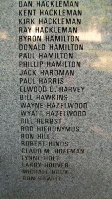
The young people from Eldorado Springs and surrounding area represented on this monument have worked for the General Land Office or Bureau of Land Management in the field of cadastral (land) surveying. Many worked only a few months while others had fulfilling careers of over 40 years.
[Back]
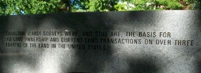
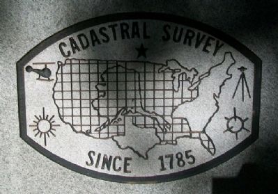
Cadastral (Land) surveys were and still are, the basis for all land ownership and current land transactions on over three fourths of the land in the United States.
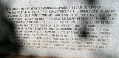
Beginning in the 1940's Eldorado Springs began to appear on the roster of cadastral surveyors as the hometown of many employees. This hometown appeared so frequently on the roster that people began to question how so many people from the same area became employed by this organization. For a short period of time in the 1930's, Eddy Wilson worked on Roy Bandy's Cadastral Survey Party before returning to Eldorado Springs when Mr. Bandy needed new recruits for his Cadastral Survey Party. He asked Eddy Wilson to help recruit young people who would commit to completing this difficult task. Consequently, for several decades, Wilson encouraged young people of this area to work on the survey parties. Many young people heeded Wilson's advice and took advantage of this opportunity.
Topics. This historical marker is listed in these topic lists: Exploration • Settlements & Settlers.
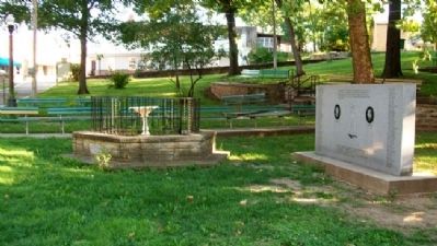
Location. 37° 52.588′ N, 94° 1.325′ W. Marker is in El Dorado Springs, Missouri, in Cedar County. Marker is in City Park, about 125 feet southwest of the intersection of Main (Missouri Route 82) and Spring Streets. Touch for map. Marker is in this post office area: El Dorado Springs MO 64744, United States of America. Touch for directions.
Other nearby markers. At least 8 other markers are within walking distance of this marker. Nathaniel H. and Waldo P. Cruce (a few steps from this marker); City Park Dedication (a few steps from this marker); El Dorado Spring (within shouting distance of this marker); Prairie (within shouting distance of this marker); Grindstone Wash Basin (within shouting distance of this marker); Former School Districts in El Dorado Springs R-2 (approx. 0.6 miles away); Veterans Memorial (approx. 0.6 miles away); Missouri Bicentennial Wagon (approx. 0.7 miles away). Touch for a list and map of all markers in El Dorado Springs.
Also see . . .
1. Roy Bandy's Cadastral Surveying. Virtual Museum of Surveying website entry (Submitted on July 12, 2012, by William Fischer, Jr. of Scranton, Pennsylvania.)
2. Cadastral Survey Training Program. Notes on history of public land surveys. Internet Archive website entry (Submitted on July 12, 2012, by William Fischer, Jr. of Scranton, Pennsylvania.)
Credits. This page was last revised on March 11, 2022. It was originally submitted on July 10, 2012, by William Fischer, Jr. of Scranton, Pennsylvania. This page has been viewed 610 times since then and 27 times this year. Photos: 1, 2, 3, 4, 5, 6, 7, 8, 9, 10, 11. submitted on July 12, 2012, by William Fischer, Jr. of Scranton, Pennsylvania.
