
Urban Core in Jacksonville in Duval County, Florida — The American South (South Atlantic)
The Beginning
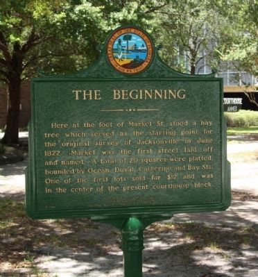
Photographed by Mike Stroud, 2012
1. The Beginning Marker
Erected 1967 by Jacksonville Historical Society, Florida Historical Society, and Florida Board of Parks and Historic Memorials. (Marker Number F-149.)
Topics. This historical marker is listed in this topic list: Settlements & Settlers. A significant historical month for this entry is June 1822.
Location. 30° 19.52′ N, 81° 39.273′ W. Marker is in Jacksonville, Florida, in Duval County. It is in Urban Core. It is on S Market Street near E Bay Street, on the right when traveling south. Touch for map. Marker is in this post office area: Jacksonville FL 32202, United States of America. Touch for directions.

Regionally, this marker is in Florida’s First Coast. It is also in the American South. Globally, it is in the North Atlantic Region, North America, a Gulf of
this page online
Other nearby markers. At least 8 other markers are within walking distance of this marker: Duval County (about 300 feet away, measured in a direct line); Duval County's First Court (about 500 feet away); Site of Cow Ford (about 500 feet away); The Plaza Building (about 600 feet away); "The Great Endurance Run" (approx. 0.2 miles away); Old Jacksonville Free Public Library (approx. 0.2 miles away); Seminole War Blockhouse Site (approx. 0.2 miles away); Florida Pharmacy Association (approx. ¼ mile away). Touch for a list and map of all markers in Jacksonville.
Another marker is no longer nearby. Duval County Vietnam Memorial and Veterans Eternal Flame (was within shouting distance of this marker but has been permanently removed).
Additional commentary.
1. Jacksonville named for Jackson Smith
That marker is a great piece of history. That land was owned by Jackson Smith, who
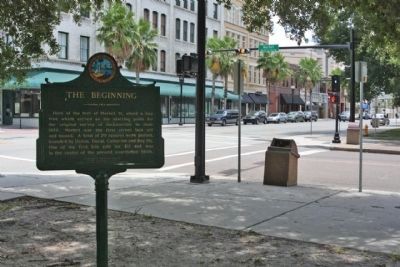
Photographed by Mike Stroud, July 15, 2012
2. The Beginning Marker at S. Market Street near E. Bay Street
— Submitted August 15, 2023, by Terry Shaw of Fort Myers, Florida.
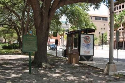
Photographed by Mike Stroud, July 15, 2012
3. The Beginning Marker near E. Bay Street, under present day tree
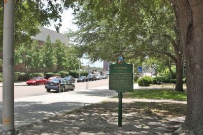
Photographed by Mike Stroud, July 15, 2012
4. The Beginning Marker on South Market Street
Credits. This page was last revised on August 20, 2023. It was originally submitted on August 1, 2012, by Mike Stroud of Bluffton, South Carolina. This page has been viewed 1,088 times since then and 37 times this year. Photos: 1. submitted on August 1, 2012, by Mike Stroud of Bluffton, South Carolina. 2, 3, 4. submitted on August 5, 2012, by Mike Stroud of Bluffton, South Carolina.
