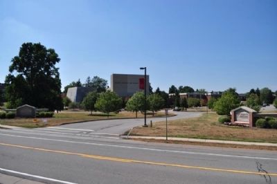
Churchville in Monroe County, New York — The American Northeast (Mid-Atlantic)
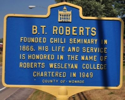
B.T. Roberts
Erected by County of Monroe.
Topics. This historical marker is listed in these topic lists: Education • Settlements & Settlers. A significant historical year for this entry is 1866.
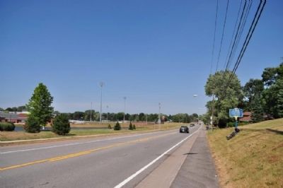
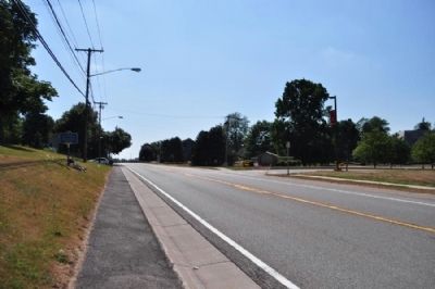
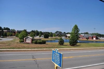
Location. 43° 7.36′ N, 77° 47.905′ W. Marker is in Churchville, New York, in Monroe County. Marker is at the intersection of Buffalo Road (New York State Route 33) and Chesbrough Drive, on the right when traveling east on Buffalo Road. Touch for map. Marker is in this post office area: Churchville NY 14428, United States of America. Touch for directions.
Other nearby markers. At least 8 other markers are within 5 miles of this marker, measured as the crow flies. Early Stage Stop (approx. 0.4 miles away); Chili Landmark (approx. 2.2 miles away); Harris Seed Farm (approx. 2.7 miles away); Indian Hill (approx. 4.3 miles away); Riga (approx. 4.4 miles away); Mill Site (approx. 4˝ miles away); Francis E. Willard (approx. 4˝ miles away); In Memoriam (approx. 4.6 miles away). Touch for a list and map of all markers in Churchville.
Also see . . . Roberts Wesleyan College website. (Submitted on August 6, 2012, by Bill Pfingsten of Bel Air, Maryland.)
Credits. This page was last revised on June 16, 2016. It was originally submitted on August 2, 2012, by Yugoboy of Rochester, New York. This page has been viewed 410 times since then and 25 times this year. Photos: 1, 2, 3, 4, 5. submitted on August 2, 2012, by Yugoboy of Rochester, New York. • Bill Pfingsten was the editor who published this page.
