Cuylerville in Livingston County, New York — The American Northeast (Mid-Atlantic)
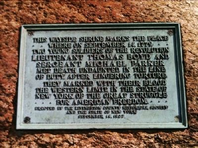
This wayside shrine marks the place
Erected 1927 by Livingston County Historical Society and the State of New York.
Topics. This historical marker is listed in this topic list: War, US Revolutionary. A significant historical month for this entry is September 1779.
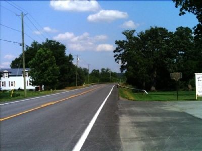
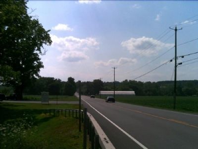
Location. 42° 46.59′ N, 77° 51.792′ W. Marker is in Cuylerville, New York, in Livingston County. Marker is on Cuylerville Road (U.S. 20A) ¼ mile west of Barrett Road, on the left when traveling west. Touch for map. Marker is in this post office area: Leicester NY 14481, United States of America. Touch for directions.
Other nearby markers. At least 8 other markers are within walking distance of this marker. Boyd & Parker Park (here, next to this marker); Boyd – Parker (within shouting distance of this marker); Genesee Castle (about 300 feet away, measured in a direct line); Routes of the Armies (about 400 feet away); The International Society of Arboriculture and the National Arborist Association (about 400 feet away); Cuylerville (approx. 0.4 miles away); National Hotel (approx. 0.4 miles away); Moscow Landing (approx. 0.9 miles away). Touch for a list and map of all markers in Cuylerville.
Credits. This page was last revised on January 20, 2022. It was originally submitted on August 2, 2012, by Yugoboy of Rochester, New York. This page has been viewed 603 times since then and 35 times this year. Photos: 1, 2, 3, 4. submitted on August 2, 2012, by Yugoboy of Rochester, New York. • Bill Pfingsten was the editor who published this page.


