Mansfield in Bristol County, Massachusetts — The American Northeast (New England)
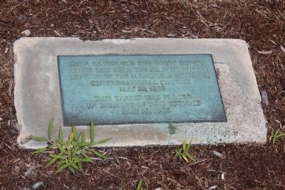
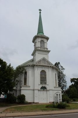
Mansfield Orthodox Congregational Church
This tablet was placed in memory of that service May 20, 1963
Topics. This historical marker is listed in this topic list: Churches & Religion. A significant historical date for this entry is May 20, 1609.
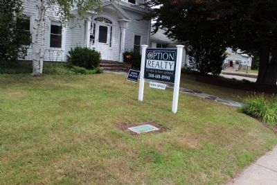
Location. 42° 1.475′ N, 71° 13.036′ W. Marker is in Mansfield, Massachusetts, in Bristol County. Marker is on West Street just east of Rumford Road, on the left when traveling east. Touch for map. Marker is in this post office area: Mansfield MA 02048, United States of America. Touch for directions.
Other nearby markers. At least 8 other markers are within walking distance of this marker. Mansfield Bell of Freedom (within shouting distance of this marker); September 11, 2001 (within shouting distance of this marker); Mansfield Veterans Memorial (within shouting distance of this marker); The Purple Heart Medal (within shouting distance of this marker); SPC Corey M. Shea (within shouting distance of this marker); Mansfield World War I Monument (about 300 feet away, measured in a direct line); a different marker also named Mansfield Veterans Memorial (approx. half a mile away); DePillow Square (approx. half a mile away). Touch for a list and map of all markers in Mansfield.
Credits. This page was last revised on June 16, 2016. It was originally submitted on August 8, 2012, by Bryan Simmons of Attleboro, Massachusetts. This page has been viewed 549 times since then and 17 times this year. Photos: 1, 2, 3. submitted on August 8, 2012, by Bryan Simmons of Attleboro, Massachusetts. • Bill Pfingsten was the editor who published this page.


