Near Sharpsburg in Washington County, Maryland — The American Northeast (Mid-Atlantic)
Ferry Hill
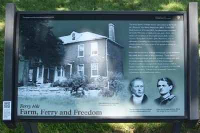
Farm, Ferry and Freedom
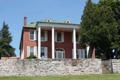
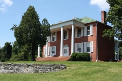
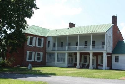
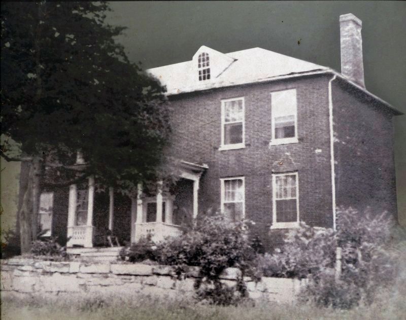
The brick home in front of you (Picture included) once stood at the heart of a Western Maryland plantation called "Ferry Hill." Built between 1812 and 1820, the plantation consisted of nearly 700 acres of land, a tavern, and a ferry. An enslaved workforce of 18 people ensured the farm's success. Ferry Hill's builder, John Blackford, was an advocate of building the Chesapeake and Ohio Canal which crosses the lower part of the property along the Potomac River.
Ferry Hill overlooks a strategic crossroads of the Potomac, the canal, and a series of river crossings. These routes carried farm produce and coal, as well as immigrants and freedom seekers. During the Civil War, Union and Confederate forces occupied the home and grounds at various times. Henry Kyd Douglas, a resident of Ferry Hill, wrote the memoir, "I Rode with Stonewall," about his experiences as a Confederate officer.
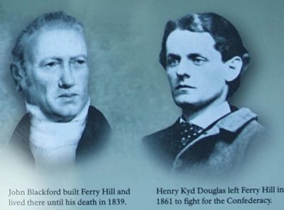
(Picture included: John Blackford and Henry Kyd Douglas)
Erected by National Park Service, U.S. Department of the Interior.
Topics and series. This historical marker is listed in this topic list: Notable Places. In addition, it is included in the Chesapeake and Ohio (C&O) Canal series list. A significant historical year for this entry is 1812.
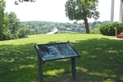
Location. 39° 26.289′ N, 77° 47.887′ W. Marker is near Sharpsburg, Maryland, in Washington County. Marker is on Shepherdstown Pike (Maryland Route 34). Located on the grounds of a Chesapeake and Ohio Canal Park Administrative area, on the opposite side of the road from the intersection between Shepherdstown Pike and Canal Road. Touch for map. Marker is at or near this postal address: 16500 Shepherdstown Pike, Sharpsburg MD 21782, United States of America. Touch for directions.
Other nearby markers. At least 8 other markers are within walking distance of this marker. Ferry Hill Place (here, next to this marker); Swearingen’s Ferry and Pack Horse Ford (about 400 feet away, measured in a direct line); Blackford’s Ford (about 400 feet away); The James Rumsey Bridge / The Battle of Antietam or Sharpsburg (about 400 feet away); A View into the Past (about 600 feet away); Shepherdstown (approx. 0.2 miles away); a different marker also named Blackford's Ford (approx. 0.2 miles away); a different marker also named Ferry Hill Place (approx. 0.2 miles away). Touch for a list and map of all markers in Sharpsburg.
Also see . . . Ferry Hill Plantation/C&O Canal Visitor Center. C&O Canal Trust website entry (Submitted on February 24, 2022, by Larry Gertner of New York, New York.)
Photographed By Allen C. Browne, August 27, 2017
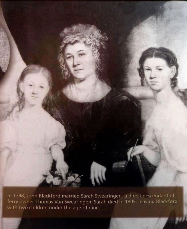
8. Sarah Swearingen Blackford
& her two daughters Benoni and Eliza
& her two daughters Benoni and Eliza
“In 1798, John Blackford married Sarah Swearingen, a direct descendant of ferry owner Thomas Van Swearingen. Sarah died in 1805, leaving Blackford with two children under the age of nine.” John Blackford married Elizabeth Knode in 1812. They were Henry Kyd Douglas' great-grandparents.Close-up of NPS signage at Ferry Hill
Photographed By Allen C. Browne, August 27, 2017
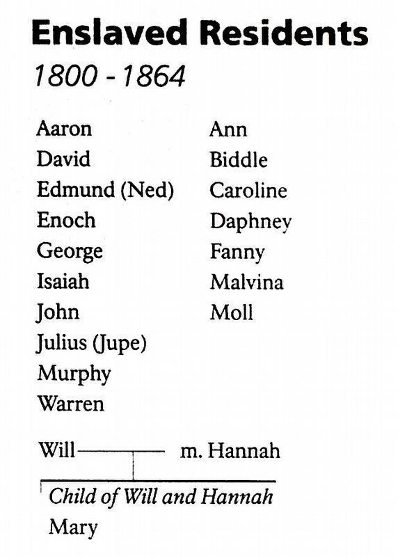
9. Enslaved Residents
1800-1864
1800-1864
Aaron, Ann, David, Biddle, Edmund (Ned), Caroline, Enoch, Daphney, George, Fanny, Isaiah, Malvina, John, Moll, Julius (Jupe), Murphy, a married couple, Will and Hannah and their child, Mary.Close-up of signage at Ferry Hill
Credits. This page was last revised on February 24, 2022. It was originally submitted on August 10, 2012, by Mike Stroud of Bluffton, South Carolina. This page has been viewed 1,107 times since then and 47 times this year. Photos: 1, 2, 3, 4, 5, 6. submitted on August 11, 2012, by Mike Stroud of Bluffton, South Carolina. 7, 8, 9. submitted on August 28, 2017, by Allen C. Browne of Silver Spring, Maryland.
