Constitution Island in Philipstown in Putnam County, New York — The American Northeast (Mid-Atlantic)
Soldiers’ Huts
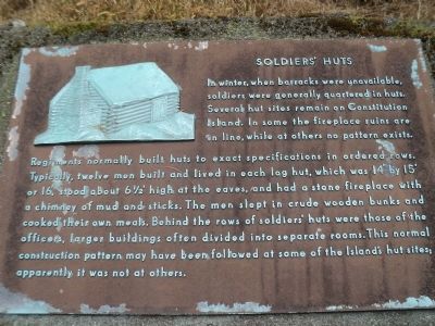
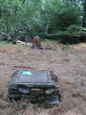
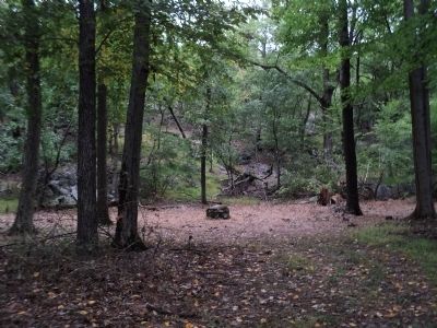
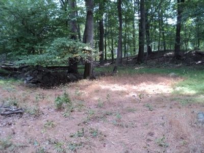
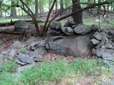
In winter, when barracks were unavailable, soldiers were generally quartered in huts. Several hut sites remain on Constitution Island. In some the fireplace ruins are in line, while at others no pattern exists.
Regiments normally built huts to exact specifications in ordered rows. Typically, twelve men built and lived in each log hut, which was 14’ by 15’ or 16’, stood about 6½’ high at the eaves, and had a stone fireplace with a chimney of mud and sticks. The men slept in crude wooden bunks and cooked their own meals. Behind the rows of soldiers’ huts were those of the officers, larger buildings often divided into separate rooms. This normal construction pattern may have been followed at some of the Island’s hut sites; apparently it was not at others.
Topics. This historical marker is listed in these topic lists: Forts and Castles • War, US Revolutionary.
Location. 41° 24.16′ N, 73° 57.321′ W. Marker is in Philipstown, New York, in Putnam County. It is on Constitution Island. Marker is on Constitution Island, at the U.S. Military Academy. Touch for map. Marker is in this post office area: Garrison NY 10524, United States of America. Touch for directions.
Other nearby markers. At least 8 other markers are within walking distance of this marker. Romans’ Battery (about 600 feet away, measured in a direct line); Fort Constitution Area (about 700 feet away); Redoubt 7 (approx. 0.2 miles away); Marine Battery (approx. 0.2 miles away); The Great Chain (approx. 0.2 miles away); Redoubt 6 (approx. 0.2 miles away); The Warner House (approx. ¼ mile away); Anna B. Warner Memorial Garden (approx. ¼ mile away). Touch for a list and map of all markers in Philipstown.
More about this marker. An image of a soldier hut appears at the upper left of the marker.
Also see . . . The Revolutionary War on Constitution Island. The Constitution Island Association website. (Submitted on August 25, 2012, by Bill Coughlin of Woodland Park, New Jersey.)
Credits. This page was last revised on July 20, 2023. It was originally submitted on August 25, 2012, by Bill Coughlin of Woodland Park, New Jersey. This page has been viewed 423 times since then and 21 times this year. Photos: 1, 2, 3, 4, 5, 6. submitted on August 25, 2012, by Bill Coughlin of Woodland Park, New Jersey.
