Pinecrest in Tuolumne County, California — The American West (Pacific Coastal)
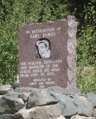
Earl Purdy
Earl Purdy
Erected 1992 by Friends and Family.
Topics. This historical marker is listed in these topic lists: Industry & Commerce • Sports. A significant historical year for this entry is 1950.
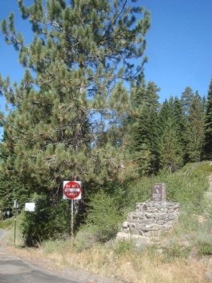
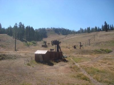
Location. 38° 11.405′ N, 119° 57.48′ W. Marker is in Pinecrest, California, in Tuolumne County. Marker can be reached from Dodge Ridge Loop Road. Dodge Ridge Ski Area is located in Stanislaus National Forest. Touch for map. Marker is in this post office area: Pinecrest CA 95364, United States of America. Touch for directions.
Other nearby markers. At least 4 other markers are within 15 miles of this marker, measured as the crow flies. Strawberry (approx. 3.1 miles away); Route of the Bartleson-Bidwell Party - 1841 (approx. 10.7 miles away); The Last Battle (approx. 10.7 miles away); Hayes Station (approx. 14.1 miles away).
Credits. This page was last revised on November 7, 2019. It was originally submitted on August 28, 2012, by Barry Swackhamer of Brentwood, California. This page has been viewed 637 times since then and 21 times this year. Photos: 1, 2, 3, 4. submitted on August 28, 2012, by Barry Swackhamer of Brentwood, California. • Syd Whittle was the editor who published this page.


