St. Nicholas in Jacksonville in Duval County, Florida — The American South (South Atlantic)
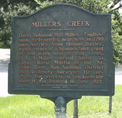
Millers Creek
Erected 1972 by Jacksonville Historical Society.
Topics. This historical marker is listed in this topic list: Settlements & Settlers. A significant historical month for this entry is June 1822.
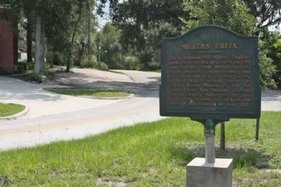
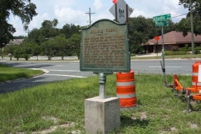
Location. 30° 18.359′ N, 81° 37.661′ W. Marker is in Jacksonville, Florida, in Duval County. It is in St. Nicholas. Marker is at the intersection of Atlantic Blvd (County Route 10) (U.S. 90) and Mayfair Road, on the right when traveling east on Atlantic Blvd (County Route 10). Touch for map. Marker is in this post office area: Jacksonville FL 32207, United States of America. Touch for directions.
Other nearby markers. At least 8 other markers are within 2 miles of this marker, measured as the crow flies. Honor and Remembrance (approx. 0.2 miles away); St. Nicholas Cemetery (approx. half a mile away); Fort San Nicholas (approx. 0.7 miles away); Douglas Anderson School (approx. ¾ mile away); Philips ~ Craig Swamp Cemetery (approx. 1.2 miles away); Catherine Street Fire Station (approx. 1.3 miles away); Old Philips Congregational Church (approx. 1.4 miles away); Oriental Gardens (approx. 1½ miles away). Touch for a list and map of all markers in Jacksonville.
Credits. This page was last revised on February 3, 2023. It was originally submitted on September 3, 2012, by Mike Stroud of Bluffton, South Carolina. This page has been viewed 861 times since then and 53 times this year. Photos: 1, 2, 3. submitted on September 6, 2012, by Mike Stroud of Bluffton, South Carolina.


