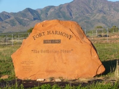
Near New Harmony in Washington County, Utah — The American Mountains (Southwest)
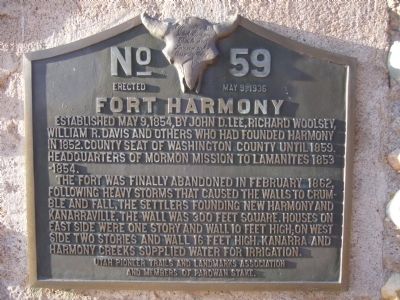
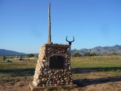
Fort Harmony
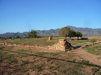
The fort was finally abandoned in February 1862, following heavy storms that caused the walls to crumble and fall, the settlers founding New Harmony and Kanarraville. The wall was 300 feet square. Houses on east side were one story and wall 10 feet high; on west side two stories and wall 16 feet high. Kanarra and Harmony Creeks supplied water for irrigation.
Erected 1936 by Utah Pioneer Trails and Landmarks Association and Members of Parowan Stake. (Marker Number 59.)
Topics and series. This historical marker is listed in these topic lists: Forts and Castles • Settlements & Settlers. In addition, it is included in the Utah Pioneer Trails and Landmarks Association series list. A significant historical month for this entry is February 1862.
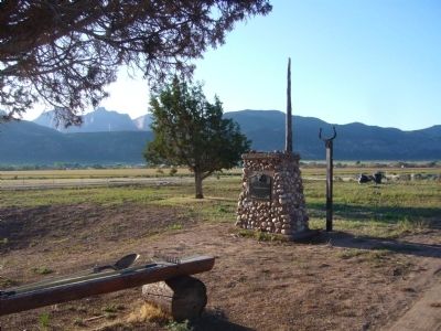
Location. 37° 28.833′ N, 113° 14.593′ W. Marker is near New Harmony, Utah, in Washington County. Marker can be reached from 2900 East Street, 0.2 miles south of Utah Route 144. Marker is south of the library. Park in library parking lot and walk through gate to old fort. Touch for map. Marker is in this post office area: New Harmony UT 84757, United States of America. Touch for directions.
Other nearby markers. At least 8 other markers are within 12 miles of this marker, measured as the crow flies. Military Training Camp Site (approx. 3.1 miles away); New Harmony (approx. 3.6 miles away); Kolob Canyons (approx. 3.9 miles away); Collapsing Scenery (approx. 3.9 miles away); Fort Kanarra (approx. 5.1 miles away); South Rim of the Great Basin (approx. 8 miles away); Snowfield Monument (approx. 8.4 miles away); Hamilton Fort (approx. 11.9 miles away). Touch for a list and map of all markers in New Harmony.
Credits. This page was last revised on June 16, 2016. It was originally submitted on September 14, 2012, by Bill Kirchner of Tucson, Arizona. This page has been viewed 638 times since then and 40 times this year. Photos: 1, 2, 3, 4, 5. submitted on September 14, 2012, by Bill Kirchner of Tucson, Arizona. • Bill Pfingsten was the editor who published this page.
