New Harmony in Washington County, Utah — The American Mountains (Southwest)
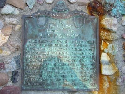
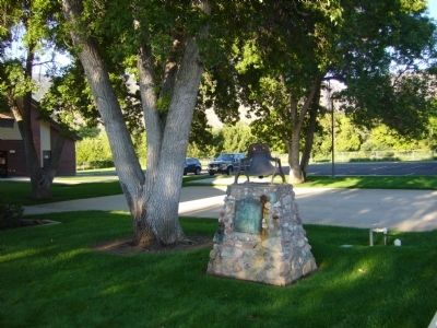
New Harmony
Erected 1960 by Daughters of Utah Pioneers - Fort Harmony Camp. (Marker Number 261.)
Topics and series. This historical marker is listed in these topic lists: Forts and Castles • Settlements & Settlers. In addition, it is included in the Daughters of Utah Pioneers series list. A significant historical year for this entry is 1852.
Location. 37° 28.674′ N, 113° 18.516′ W. Marker is in New Harmony, Utah, in Washington County. Marker is on West Center Street, 0.1 miles west of Main Street, on the left when traveling west. Touch for map. Marker is in this post office area: New Harmony UT 84757, United States of America. Touch for directions.
Other nearby markers. At least 8 other markers are within 12 miles of this marker, measured as the crow flies. Military Training Camp Site (approx. 0.6 miles away); Fort Harmony (approx. 3.6 miles away); Kolob Canyons (approx. 6.6 miles away); Collapsing Scenery (approx. 6.6 miles away); Fort Kanarra (approx. 8 miles away); Snowfield Monument (approx. 8˝ miles away); South Rim of the Great Basin (approx. 10.6 miles away); Old Irontown (approx. 11.4 miles away). Touch for a list and map of all markers in New Harmony.
Credits. This page was last revised on June 16, 2016. It was originally submitted on September 14, 2012, by Bill Kirchner of Tucson, Arizona. This page has been viewed 599 times since then and 44 times this year. Photos: 1, 2, 3. submitted on September 14, 2012, by Bill Kirchner of Tucson, Arizona. • Bill Pfingsten was the editor who published this page.


