Cedar City in Iron County, Utah — The American Mountains (Southwest)
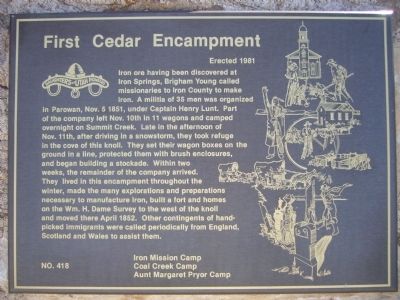
First Cedar Encampment
Photographed by Bill Kirchner, August 29, 2012
1. First Cedar Encampment Marker
Erected 1981 by Camps: Iron Mission, Coal Creek & Aunt Margaret Pryor - Daughters of Utah Pioneers. (Marker Number 418.)
Topics and series. This historical marker is listed in this topic list: Settlements & Settlers.
this page online
Location. 37° 42.022′ N, 113° 3.82′ W. Marker is in Cedar City, Utah, in Iron County. It is at the intersection of North Main Street and West 1325 North, on the right when traveling north on North Main Street. Touch for map. Marker is in this post office area: Cedar City UT 84721, United States of America. Touch for directions.

Regionally, this marker is in Color Country. It is also in the American Mountain West and on the Colorado Plateau. Globally, it is in North America, the Rocky Mountains, the Western Hemisphere, the Western World, and the Anglosphere. Historically, it finds itself in what was once New Spain and also Mexico’s Alta California.
Other nearby markers. At least 8 other markers are within one mile of this marker, measured as the crow flies: Cedar City Historic Pioneer Cemetery Wall (approx. 0.7 miles away); The Caboose (approx. 0.8 miles away); The Ore Shovel (approx. 0.8 miles away); Pioneer Cabin (approx. 0.8 miles away); Legacies of Iron County (approx. 0.8 miles away); The Hay Derrick
Photographed by Bill Kirchner, August 29, 2012
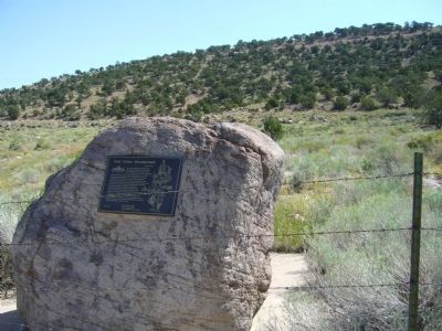
2. First Cedar Encampment Marker
Photographed by Bill Kirchner, August 29, 2012
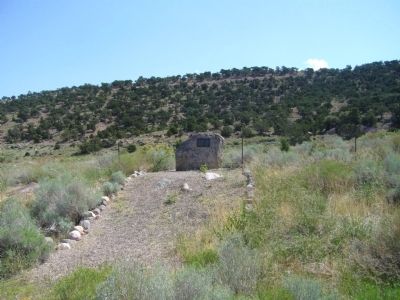
3. First Cedar Encampment Marker
Credits. This page was last revised on June 16, 2016. It was originally submitted on September 16, 2012, by Bill Kirchner of Tucson, Arizona. This page has been viewed 1,063 times since then and 44 times this year. Photos: 1, 2, 3. submitted on September 16, 2012, by Bill Kirchner of Tucson, Arizona. • Syd Whittle was the editor who published this page.
