Deep Creek
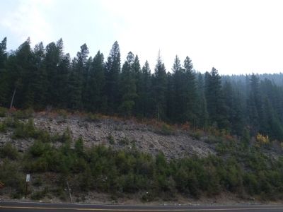
Clark wrote "...we were obliged to cut a road, over rocky hill Slides where our horses were in peteal danger of Slipping down to their certain distruction & up & Down Steep hills, where Several horses fell, Some turned over, and other Sliped down Steep hill Sides, one horse Crippled & 2 gave out."
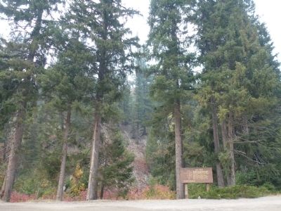
Erected by Salmon National Forest.
Topics and series. This historical marker is listed in this topic list: Exploration. In addition, it is included in the Lewis & Clark Expedition series list. A significant historical date for this entry is September 2, 1892.
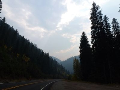
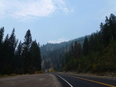
Location. 45° 35.565′ N, 113° 57.833′ W. Marker is near Gibbonsville, Idaho, in Lemhi County. Marker is on Lewis and Clark Highway, Scenic (U.S. 93 at milepost 332), on the left when traveling north. Located in pull-out. Touch for map. Marker is in this post office area: Gibbonsville ID 83463, United States of America. Touch for directions.
Other nearby markers. At least 8 other markers are within 9 miles of this marker, measured as the crow flies. Gibbonsville (approx. 3.8 miles away); Lewis and Clark (approx. 4.7 miles away); Lost Trail Pass (approx. 6.3 miles away); Jerry Fahey’s Cutoff (approx. 6.3 miles away); Which Way Did Lewis & Clark Go?
Additional keywords. Lewis, Clark, Deep Creek, Salmon-Challis National Forest,Gibbonsville,
Credits. This page was last revised on June 16, 2016. It was originally submitted on September 29, 2012, by Chris English of Phoenix, Arizona. This page has been viewed 624 times since then and 18 times this year. Photos: 1, 2, 3, 4, 5. submitted on September 29, 2012, by Chris English of Phoenix, Arizona. • Bill Pfingsten was the editor who published this page.


