Barton Hills in Austin in Travis County, Texas — The American South (West South Central)
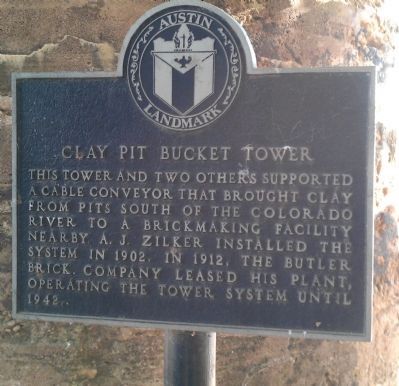
Clay Pit Bucket Tower
Austin Landmark
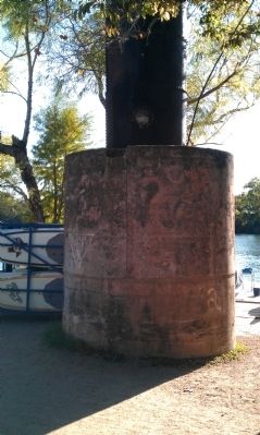
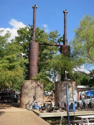
This tower and two others supported a cable conveyor that brought clay from pits south of the Colorado River to a brick making facility nearby. A.J. Zilker installed the system in 1902. In 1912, the Butler Brick Company leased his plant, operating the tower system until 1942.
Topics. This historical marker is listed in this topic list: Industry & Commerce. A significant historical year for this entry is 1902.
Location. 30° 16.325′ N, 97° 46.138′ W. Marker is in Austin, Texas, in Travis County. It is in Barton Hills. Marker can be reached from Veterans Drive south of West Cesar Chavez Street. The marker is located on the north shore of Lady Bird Lake, at the Texas Rowing Center. The marker is visible from Lady Bird Lake trail. Touch for map. Marker is at or near this postal address: 1541 W Cesar Chavez Street, Austin TX 78703, United States of America. Touch for directions.
Other nearby markers. At least 8 other markers are within walking distance of this marker. Austin High School (approx. 0.2 miles away); Travis County (approx. ¼ mile away); Esperanza School Building (approx. 0.3 miles away); Swedes of Texas (approx. 0.3 miles away); Swedish Log Cabin (approx. 0.3 miles away); The Johnson Home (approx. 0.4 miles away); Ashford McGill House (approx. 0.4 miles away); Confederate Men's Home (approx. 0.4 miles away). Touch for a list and map of all markers in Austin.
Credits. This page was last revised on February 1, 2023. It was originally submitted on November 14, 2012, by Jamie Cox of Melbourne, Florida. This page has been viewed 1,039 times since then and 93 times this year. Photos: 1, 2. submitted on November 14, 2012, by Jamie Cox of Melbourne, Florida. 3. submitted on October 27, 2013, by Jamie Cox of Melbourne, Florida. • Bernard Fisher was the editor who published this page.


