El Centro in Imperial County, California — The American West (Pacific Coastal)
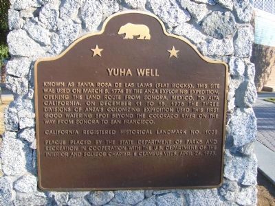
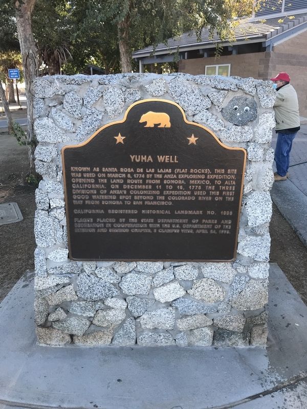
Yuha Well
Erected 1993 by State Department of Parks and Recreation in cooperation with the U.S. Department of the Interior and John P. Squibob Chapter No. 1853, E Clampus Vitus. (Marker Number 1008.)
Topics and series. This historical marker is listed in these topic lists: Exploration • Settlements & Settlers. In addition, it is included in the California Historical Landmarks, the E Clampus Vitus, and the Juan Bautista de Anza National Historic Trail series lists. A significant historical month for this entry is March 1933.
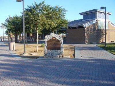
Location. 32° 46.411′ N, 115° 40.206′ W. Marker is in El Centro, California, in Imperial County. Marker is on Interstate 8 at milepost 108, on the right when traveling east. Marker is located at the eastbound Sunbeam Roadside Rest Area, between Drew and Forrester Roads. Touch for map. Marker is in this post office area: El Centro CA 92243, United States of America. Touch for directions.
Other nearby markers. At least 8 other markers are within 11 miles of this marker, measured as the crow flies. Rock Art (within shouting distance of this marker); Mormon Battalion (about 500 feet away, measured in a direct line); Camacho's Place and Café (approx. 5.2 miles away); Imperial Valley Press (approx. 6½ miles away); Women's 10,000 Club (approx. 6.6 miles away); Imperial Irrigation District (approx. 7.9 miles away); Mobley Meadows (approx. 10.3 miles away); Imperial Valley Veterans' Memorial (approx. 10.3 miles away). Touch for a list and map of all markers in El Centro.
Regarding Yuha Well. Click on Marker Series "Juan Bautista de Anza National Historic Trail" for markers placed along the trail for additional information, photos and informational links.
Credits. This page was last revised on February 8, 2022. It was originally submitted on December 17, 2011, by Michael Kindig of Elk Grove, California. This page has been viewed 1,100 times since then and 78 times this year. Last updated on December 23, 2012, by Bill Kirchner of Tucson, Arizona. Photos: 1. submitted on December 23, 2012, by Bill Kirchner of Tucson, Arizona. 2. submitted on February 7, 2022, by Adam Margolis of Mission Viejo, California. 3. submitted on December 23, 2012, by Bill Kirchner of Tucson, Arizona. • Syd Whittle was the editor who published this page.


