Near Corsicana in Navarro County, Texas — The American South (West South Central)
Pinkston
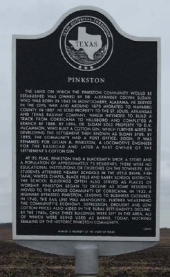
At its peak, Pinkston had a blacksmith shop, a store and a population of approximateley 75 residents. There were no educational institutions or churches on the townsite, but students attended nearby schools in the Little Brair, Fish Tank, White's Chapel, Black Hills and Barry school districts; the school buildings often also served as places of worship. Pinkston began to decline as some residents moved to the larger community of Corsicana.In 1932, a highway bypassed Pinkston, leading to business closures. In 1940, the rail line was abandoned, further weaking the community's economy. Depression, drought and low cotton prices also aided in the rural settlement's decline. By the 1980's only three buildings were left in the area, all which were being used as barns. Today, nothing remains of the Historic Pinkston Community.
Erected 2009 by Texas Historical Commission. (Marker Number 15696.)
Topics. This historical marker is listed in this topic list: Notable Places. A significant historical year for this entry is 1843.
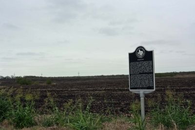
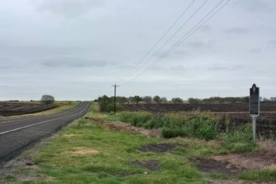
Location. 32° 5.716′ N, 96° 34.627′ W. Marker is near Corsicana, Texas, in Navarro County. Marker is on State Highway 22, on the right when traveling east. Located between Corsicana and Barry, 3 miles west of Corsicana. Touch for map. Marker is in this post office area: Corsicana TX 75110, United States of America. Touch for directions.
Other nearby markers. At least 8 other markers are within 5 miles of this marker, measured as the crow flies. Barry Baptist Church (approx. 3˝ miles away); Barry (approx. 3˝ miles away); IOOF Home Memorial Bell Tower (approx. 4˝ miles away); Odd Fellow and Rebekah Children's Home (approx. 4.6 miles away); David Wilson Campbell (approx. 4.8 miles away); Campbell-Elrod Cemetery (approx. 4.8 miles away); 15th Texas Infantry Companies E and G (approx. 4.9 miles away); Navarro Rifles (approx. 4.9 miles away). Touch for a list and map of all markers in Corsicana.
Also see . . .
1. Corsicana Daily Sun; A historical marker for the community of Pinkston, By Bill Young. According to Bruce McManus, who researched the material prior to filing the application for the historical marker for Pinkston, two of the earliest land owners in the area where Pinkston was located were William A. Morrell and Marshall Wantland. ... (Submitted on December 31, 2012, by Mike Stroud of Bluffton, South Carolina.)
2. Corsicana Daily Sun; A historical marker for the community of Pinkston. Part 2...The required research needed for a historical marker has changed significantly over the past few years. (Submitted on December 31, 2012, by Mike Stroud of Bluffton, South Carolina.)
Credits. This page was last revised on July 15, 2020. It was originally submitted on December 31, 2012, by Mike Stroud of Bluffton, South Carolina. This page has been viewed 747 times since then and 53 times this year. Photos: 1, 2, 3. submitted on December 31, 2012, by Mike Stroud of Bluffton, South Carolina.


