Fair Lawn in Bergen County, New Jersey — The American Northeast (Mid-Atlantic)
Radburn Station
Date: 1930
— Clarence S. Stein, Architect —
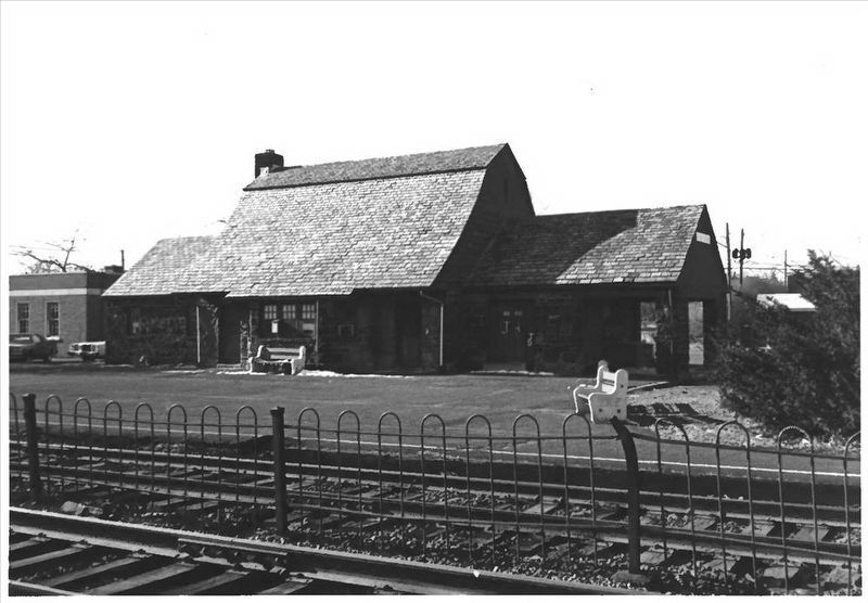
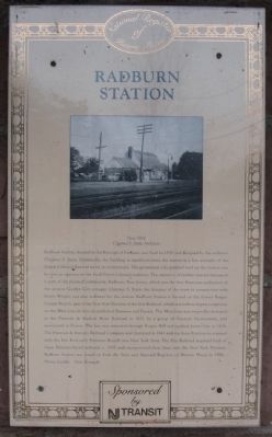
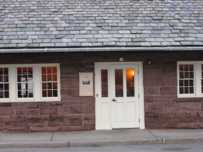
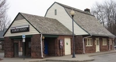
Radburn Station, located in the Borough of Fair Lawn, was built in 1930 and designed by the architect Clarence S. Stein. Stylistically, the building is significant since the station is a fine example of the Dutch Colonial Revival trend in architecture. The prominent side gambrel roof on the station can be seen as a gesture to the local Dutch Colonial tradition. The station is of further interest because it is part of the planned community, Radburn, New Jersey, which was the first American Realization of the utopian Garden City concept. Clarence S. Stein, the designer of the town in conjunction with Henry Wright, was also architect for the station. Radburn Station is located on the former Bergen County Branch, part of the New York Division of the Erie Railroad, which was built to bypass congestion on the Main Line in heavily trafficked Paterson and Passaic. The Main Line was originally chartered Paterson & Hudson River Railroad in 1831 by a group of Paterson businessmen, and terminated in Passaic. The line was extended through Bergen Hill and reached Jersey City in 1838. The Paterson & Ramapo Railroad Company was chartered in 1841 and ran from Paterson to connect with the Erie Railroad's Piermont branch into New York State. The Erie Railroad acquired both of these Paterson-based railroads c. 1850 and incorporated these lines into the New York Division. Radburn Station was listed on both the State and National Registers of Historic Places in 1984. Photo Credit: Dan Bernacki. Sponsored by NJ Transit
Erected by New Jersey Transit.
Topics. This historical marker is listed in these topic lists: Railroads & Streetcars • Settlements & Settlers. A significant historical year for this entry is 1930.
Location. 40° 56.395′ N, 74° 7.3′ W. Marker is in Fair Lawn, New Jersey, in Bergen County. Marker is at the intersection of Pollitt Drive and Fair Lawn Ave. on Pollitt Drive. Touch for map. Marker is in this post office area: Fair Lawn NJ 07410, United States of America. Touch for directions.
Other nearby markers. At least 8 other markers are within walking distance of this marker. Site of Hopper-Croucher Homestead (approx. 0.2 miles away); Jewish War Veterans Memorial (approx. 0.4 miles away); Cadmus House Museum (approx. half a mile away); Radburn (approx. half a mile away); Slave House (approx. 0.6 miles away); Holocaust and World War II Memorial (approx. 0.6 miles away); Honor Roll (approx. 0.6 miles away); We Will Never Forget (approx. 0.6 miles away). Touch for a list and map of all markers in Fair Lawn.
More about this marker. Marker is attached to building by the front door.
Regarding Radburn Station. Eastbound trains go to Secaucus Junction

via NPS, unknown
2. Radburn Station
National Register of Historic Places
at NPGallery Digital Asset Management System
Click for more information.
at NPGallery Digital Asset Management System
Click for more information.
Also see . . . Radburn station. Wikipedia entry (Submitted on July 19, 2023, by Larry Gertner of New York, New York.)
Credits. This page was last revised on July 19, 2023. It was originally submitted on February 2, 2013, by D Howitt of Bergen County, New Jersey. This page has been viewed 655 times since then and 36 times this year. Photos: 1. submitted on February 2, 2013, by D Howitt of Bergen County, New Jersey. 2. submitted on July 19, 2023, by Larry Gertner of New York, New York. 3, 4. submitted on February 2, 2013, by D Howitt of Bergen County, New Jersey. • Bill Pfingsten was the editor who published this page.


