Monterey in Monterey County, California — The American West (Pacific Coastal)
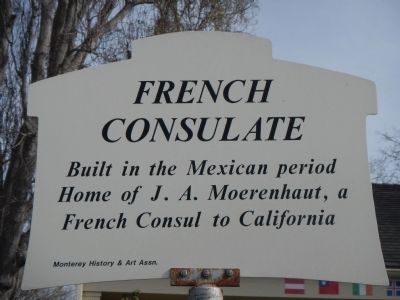
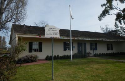
French Consulate
Erected by Monterey History & Art Association.
Topics. This historical marker is listed in this topic list: Notable Buildings.
Location. 36° 35.92′ N, 121° 53.246′ W. Marker is in Monterey, California, in Monterey County. Marker is at the intersection of Camino El Estero and East Franklin Street, on the left when traveling south on Camino El Estero. Touch for map. Marker is at or near this postal address: 401 Camino El Estero, Monterey CA 93940, United States of America. Touch for directions.
Other nearby markers. At least 8 other markers are within walking distance of this marker. San Carlos Parish Veterans Memorial (approx. ¼ mile away); American Revolutionary War Historical Site (approx. ¼ mile away); Juan Bautista de Anza (approx. ¼ mile away); De Anza Expedition (approx. ¼ mile away); Orientations At The Marsh Building (approx. ¼ mile away); Royal Presidio Chapel (approx. ¼ mile away); Monterey's Historic Railway -- from Passengers to Industry (approx. ¼ mile away); Spanish Presidio (approx. ¼ mile away). Touch for a list and map of all markers in Monterey.
Credits. This page was last revised on June 16, 2016. It was originally submitted on February 11, 2013, by Barry Swackhamer of Brentwood, California. This page has been viewed 428 times since then and 15 times this year. Photos: 1, 2, 3. submitted on February 11, 2013, by Barry Swackhamer of Brentwood, California. • Syd Whittle was the editor who published this page.


