Presidio of San Francisco in San Francisco City and County, California — The American West (Pacific Coastal)
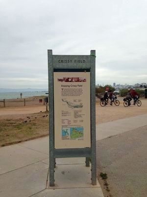
Crissy Field
A Place of Renewal
Inscription.
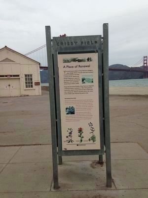
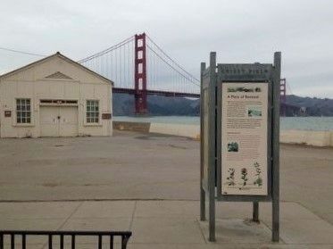
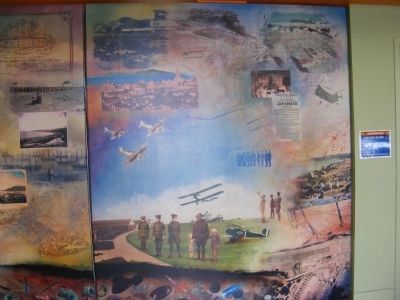
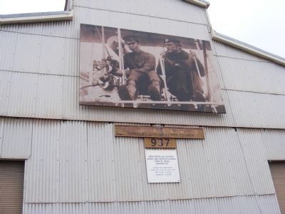
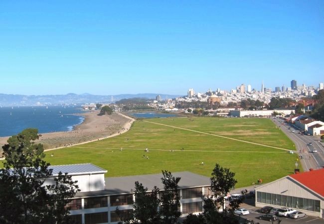
The land known today as Crissy Field has undergone many changes. Once a rich salt marsh and homeland of Ohlone people, it was later a landing site for Spanish and Russian explorers, a venue for the Panama-Pacific International Exposition and a pioneering United States military airfield.
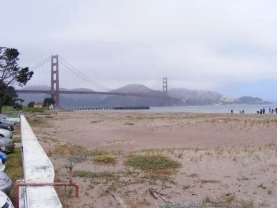
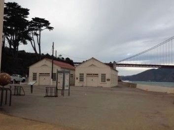
Along with the entire Presidio, Crissy Field was designated a National Historic Landmark in 1962. With generous community support, Crissy Field has been transformed into a spectacular 100-acre shoreline park at the center of the Golden Gate National Recreational Area.
Revitalizing Crissy Field
Sponsored by the National Park Service and its nonprofit support partner, the Golden Gate National Parks Conservancy, the revitalization of Crissy Field owes its success to community support and stewardship.
Erected by National Park Service.
Topics and series. This historical marker is listed in these topic lists: Military • Notable Places. In addition, it is included in the National Historic Landmarks series list. A significant historical year for this entry is 1962.
Location. 37° 48.504′ N, 122° 28.236′ W. Marker is in San Francisco, California, in San Francisco City and County. It is in Presidio of San Francisco. Marker can be reached from San Francisco Bay Trail near Marine Drive. Touch for map. Marker is in this post office area: San Francisco CA 94129, United States of America. Touch for directions.
Other nearby markers. At least 8 other markers are within walking distance of this marker. Setting A Deadly Obstacle Course (a few steps from this marker); Fort Point National Historic Site (about 400 feet away, measured in a direct line); Resisting the Twisting (approx. 0.2 miles away); The Era of Earthworks Batteries (approx. 0.2 miles away); The Golden Gate Bridge (approx. ¼ mile away); Men of Vision (approx. ¼ mile away); Joseph Strauss Legacy Circle (approx. ¼ mile away); Types of Bridges (approx. ¼ mile away). Touch for a list and map of all markers in San Francisco.
Credits. This page was last revised on February 7, 2023. It was originally submitted on February 18, 2013, by Don Morfe of Baltimore, Maryland. This page has been viewed 657 times since then and 8 times this year. Photos: 1, 2. submitted on December 1, 2015, by Jo Solorzano of San Francisco, California. 3, 4, 5, 6, 7. submitted on February 18, 2013, by Don Morfe of Baltimore, Maryland. 8, 9. submitted on December 1, 2015, by Jo Solorzano of San Francisco, California. 10. submitted on April 8, 2013. • Syd Whittle was the editor who published this page.
