Wallops Island in Accomack County, Virginia — The American South (Mid-Atlantic)
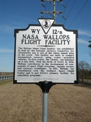
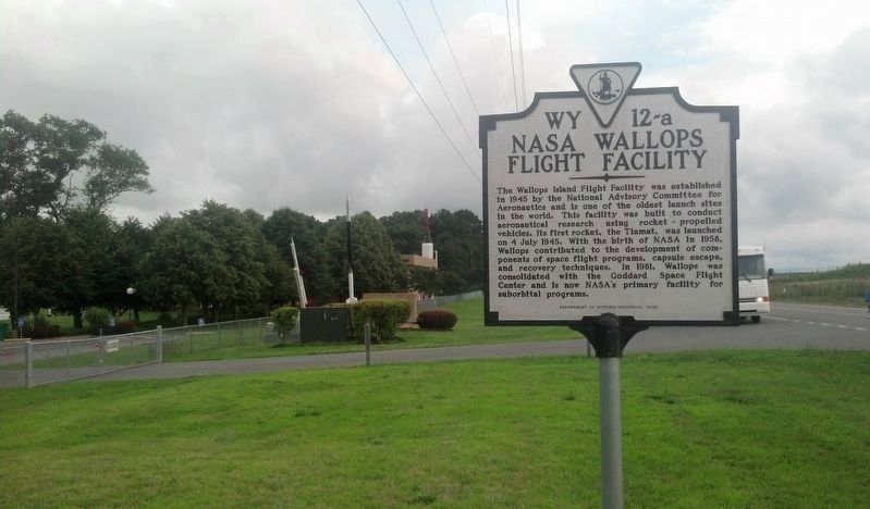
NASA Wallops Flight Facility
Erected 2008 by Department of Historic Resources. (Marker Number WY 12-a.)
Topics and series. This historical marker is listed in this topic list: Air & Space. In addition, it is included in the Virginia Department of Historic Resources (DHR) series list. A significant historical date for this entry is July 4, 1945.
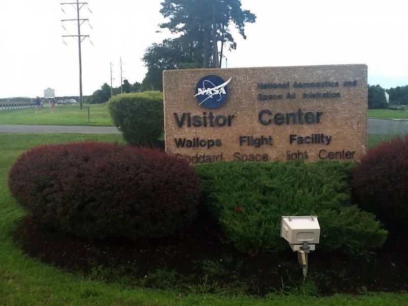
Location. 37° 56.383′ N, 75° 27.423′ W. Marker is on Wallops Island, Virginia, in Accomack County. Marker is on Chincoteague Road (Route 175) 3.4 miles east of Fleming Road (Virginia Route 679), on the right when traveling east. Next to the NASA Visitor's Center. Touch for map. Marker is in this post office area: Wallops Island VA 23337, United States of America. Touch for directions.
Other nearby markers. At least 8 other markers are within walking distance of this marker. Nike-Cajun (about 300 feet away, measured in a direct line); Black Brant IX (about 400 feet away); Welcome to the NASA Visitor Center (about 400 feet away); Dr. Robert L. Krieger (about 400 feet away); Nike-Orion (about 600 feet away); Little Joe (about 600 feet away); Astrobee + Aerobee 150 (about 600 feet away); An Island of Research and Exploration (approx. 0.2 miles away). Touch for a list and map of all markers in Wallops Island.
Also see . . . NASA Wallops Island Visitor Center. (Submitted on August 27, 2015, by Linda Walcroft of Woodstock, Virginia.)
Credits. This page was last revised on October 14, 2016. It was originally submitted on March 7, 2013, by Zach Barrett of Wallops Island, Virginia. This page has been viewed 1,075 times since then and 32 times this year. Photos: 1. submitted on March 7, 2013, by Zach Barrett of Wallops Island, Virginia. 2. submitted on March 29, 2014, by Mike Wintermantel of Pittsburgh, Pennsylvania. 3, 4. submitted on October 11, 2016, by Michael C. Wilcox of Winston-Salem, North Carolina. • Bernard Fisher was the editor who published this page.


