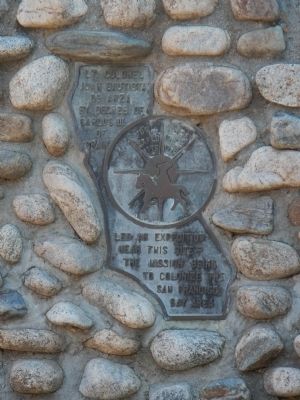
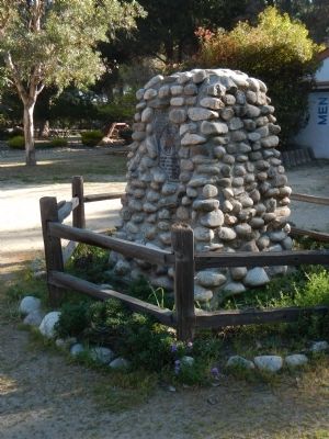
King City in Monterey County, California — The American West (Pacific Coastal)
De Anza Expedition 1775-1776
Erected by Bicentennial De Anza Expedition Celebration.
Topics and series. This historical marker is listed in these topic lists: Exploration • Settlements & Settlers. In addition, it is included in the Juan Bautista de Anza National Historic Trail series list.
Location. 36° 12.41′ N, 121° 8.944′ W. Marker is in King City, California, in Monterey County. Marker is on San Lorenzo Park Road, on the right when traveling north. Touch for map. Marker is in this post office area: King City CA 93930, United States of America. Touch for directions.
Other nearby markers. At least 8 other markers are within 15 miles of this marker, measured as the crow flies. Wind Power (about 500 feet away, measured in a direct line); Salinas Valley Cookwagon, c. 1888 / Cookwagon (about 700 feet away); La Gloria Schoolhouse (approx. 0.2 miles away); Mission San Antonio de Padua (approx. 0.8 miles away); Metz Field/ Chapin Int'l Airport (approx. 9.1 miles away); De Anza Expedition 1775 - 1776 (approx. 14.4 miles away); First Marriage in California (approx. 14.4 miles away); The Hacienda (approx. 14.6 miles away). Touch for a list and map of all markers in King City.
More about this marker. This marker is located near the De Anza Building on the grounds of San Lorenzo Park.
Credits. This page was last revised on June 16, 2016. It was originally submitted on April 14, 2013, by Barry Swackhamer of Brentwood, California. This page has been viewed 461 times since then and 19 times this year. Photos: 1, 2. submitted on April 14, 2013, by Barry Swackhamer of Brentwood, California. • Syd Whittle was the editor who published this page.

