Near Glasgow in Amherst County, Virginia — The American South (Mid-Atlantic)
Amherst County / Rockbridge County
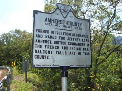
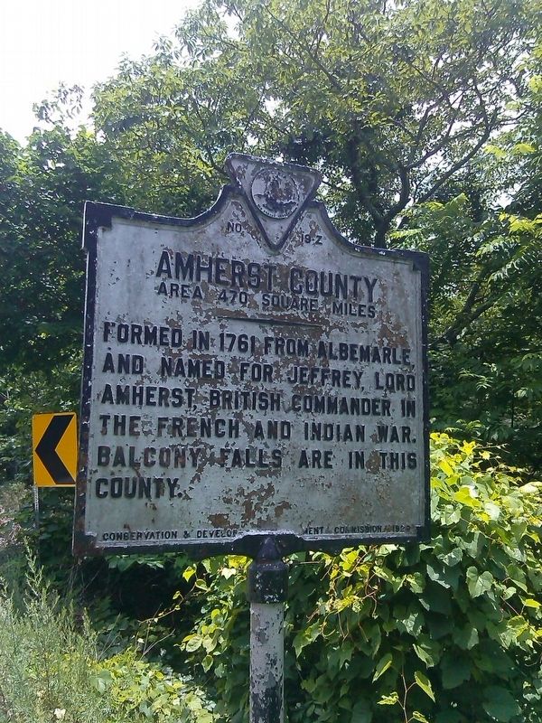
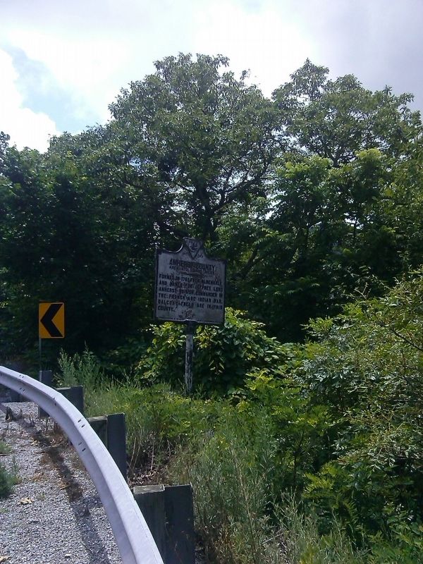
Amherst County. Area 470 Square Miles. Formed in 1781 from Albemarle, and named for Jeffrey, Lord Amherst, British commander in the French and Indian War. Balcony Falls are in this county.
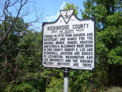
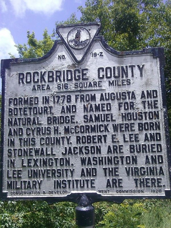
Rockbridge County. Area 616 Square Miles. Formed in 1778 from Augusta and Botetourt, and named for the Natural Bridge. Samuel Houston and Cyrus H. McCormick were born in this county. Robert E. Lee and Stonewall Jackson are buried in Lexington. Washington and Lee University are the Virginia Military Institute are there.
Erected 1928 by Conservation and Development Commission. (Marker Number Z-19.)
Topics and series. This historical marker is listed in this topic list: Political Subdivisions. In addition, it is included in the Virginia Department of Historic Resources (DHR) series list. A significant historical year for this entry is 1781.
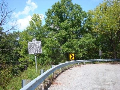
Location. 37° 36.433′ N, 79° 25.85′ W. Marker is near Glasgow, Virginia, in Amherst County. Marker is on US 501 (U.S. 501) 3 miles east of VA 130 (Virginia Route 130), on the right when traveling east. Touch for map. Marker is in this post office area: Big Island VA 24526, United States of America. Touch for directions.
Other nearby markers. At least 8 other markers are within 5 miles of this marker, measured as the crow flies. The Courage Of Frank Padget (here, next to this marker); Indian and Settler Conflict (approx. 1.8 miles away); Frank Padget (approx. 2.1 miles away); Frank Padget Water Tragedy (approx. 2.1 miles away); Water Gap (approx. 5 miles away); Battery Creek Lock (approx. 5 miles away); Harry F. Byrd Memorial Bridge (approx. 5.1 miles away); James River (approx. 5.1 miles away). Touch for a list and map of all markers in Glasgow.
Also see . . .
1. The County of Amherst, Virginia. County website homepage (Submitted on May 21, 2013, by Roger Dean Meyer of Yankton, South Dakota.)
2. The County of Rockbridge Virginia. County website homepage (Submitted on May 21, 2013, by Roger Dean Meyer of Yankton, South Dakota.)
Credits. This page was last revised on April 3, 2022. It was originally submitted on May 21, 2013, by Roger Dean Meyer of Yankton, South Dakota. This page has been viewed 605 times since then and 22 times this year. Photos: 1, 2, 3. submitted on May 21, 2013, by Roger Dean Meyer of Yankton, South Dakota. 4, 5, 6. submitted on June 23, 2017, by Roger Miller of Pulaski, Virginia.
