Le Sueur in Le Sueur County, Minnesota — The American Midwest (Upper Plains)
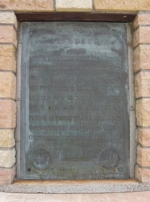
Le Sueur
seal of The Minnesota Historical Society, Instituted 1849
Erected 1940 by the Minnesota Department of Highways and the Minnesota Historical Society.
Topics and series. This historical marker is listed in these topic lists: Exploration • Settlements & Settlers. In addition, it is included in the Minnesota Historical Society series list. A significant historical year for this entry is 1700.
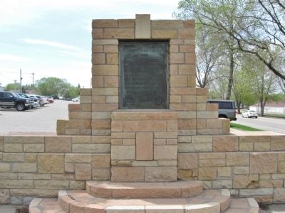
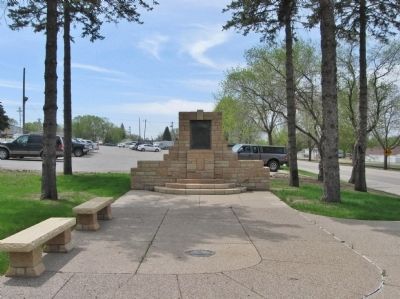
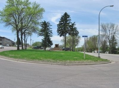
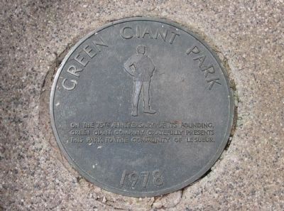
Location. 44° 28.519′ N, 93° 54.207′ W. Marker is in Le Sueur, Minnesota, in Le Sueur County. Marker is at the intersection of Commerce Street (State Highway 112) and Vine Street, on the left when traveling south on Commerce Street. Marker is at Green Giant Park. Touch for map. Marker is in this post office area: Le Sueur MN 56058, United States of America. Touch for directions.
Other nearby markers. At least 8 other markers are within 4 miles of this marker, measured as the crow flies. The Jolly Green Giant (approx. ¼ mile away); Dr. William W. Mayo House (approx. 1.1 miles away); Roster of the Le Sueur Tigers (approx. 1.1 miles away); 1923 Minnesota River Bridge (approx. 1.1 miles away); The Minnesota River Valley (approx. 1.7 miles away); St. Jude's Episcopal Church Congregation (approx. 3.6 miles away); Joseph R. Brown State Monument (approx. 3.6 miles away); Veterans Memorial (approx. 3.6 miles away). Touch for a list and map of all markers in Le Sueur.
Also see . . . Le Sueur, Minnesota. Wikipedia entry. (Submitted on May 26, 2013.)
Credits. This page was last revised on June 16, 2016. It was originally submitted on May 26, 2013, by Keith L of Wisconsin Rapids, Wisconsin. This page has been viewed 840 times since then and 38 times this year. Photos: 1, 2, 3, 4, 5. submitted on May 26, 2013, by Keith L of Wisconsin Rapids, Wisconsin.
