Lock Haven in Clinton County, Pennsylvania — The American Northeast (Mid-Atlantic)
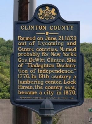
Clinton County
Formed on June 21, 1839 out of Lycoming and Centre counties. Named probably for New York's Gov. DeWitt Clinton. Site of "Tiadaghton Declaration of Independence," 1776. In 19th century a lumbering center. Lock Haven, the county seat, became a city in 1870.
Erected 1982 by Pennsylvania Historical and Museum Commission.
Topics and series. This historical marker is listed in this topic list: Industry & Commerce. In addition, it is included in the Pennsylvania Historical and Museum Commission series list. A significant historical date for this entry is June 21, 1839.
Location. 41° 8.27′ N, 77° 26.538′ W. Marker is in Lock Haven, Pennsylvania, in Clinton County. Marker is at the intersection of North Jay Street (Pennsylvania Route 120) and East Water Street, on the right when traveling south on North Jay Street. Touch for map. Marker is at or near this postal address: 230 East Water Street, Lock Haven PA 17745, United States of America. Touch for directions.
Other nearby markers. At least 8 other markers are within walking distance of this marker. Lock Haven Flood Protection Project (within shouting distance of this marker); American Hero (within shouting distance of this marker); Fort Reed Stockade (within shouting distance of this marker); Clinton County Veterans Memorial (within shouting distance of this marker); The Susquehanna Greenway (within shouting distance of this marker); Lock Haven (about 300 feet away, measured in a direct line); Pennsylvania Canal (about 400 feet away); Harmon Field (approx. 0.6 miles away). Touch for a list and map of all markers in Lock Haven.
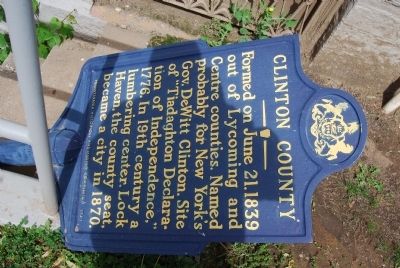
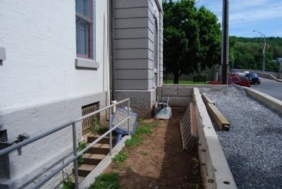
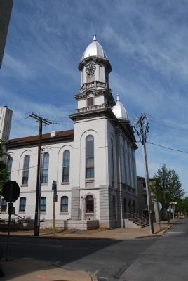
More about this marker. Marker was down due to construction at the courthouse.
Also see . . . Clinton County, Pennsylvania. Wikipedia entry (Submitted on March 14, 2022, by Larry Gertner of New York, New York.)
Additional commentary.
1. Marker back up.
As of August, 2015 the marker has again been installed at corner of North Jay and East Water Streets.
— Submitted October 26, 2016, by Mark Hilton of Montgomery, Alabama.
Credits. This page was last revised on March 14, 2022. It was originally submitted on May 28, 2013, by Mike Wintermantel of Pittsburgh, Pennsylvania. This page has been viewed 450 times since then and 13 times this year. Photos: 1. submitted on June 8, 2014, by PaulwC3 of Northern, Virginia. 2, 3, 4. submitted on May 28, 2013, by Mike Wintermantel of Pittsburgh, Pennsylvania.


