Camptonville in Yuba County, California — The American West (Pacific Coastal)
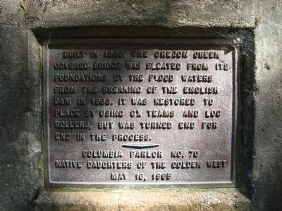
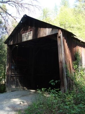
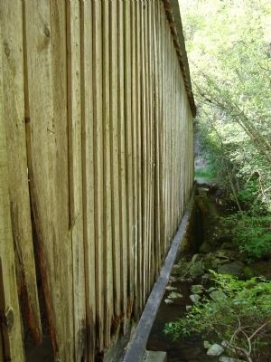
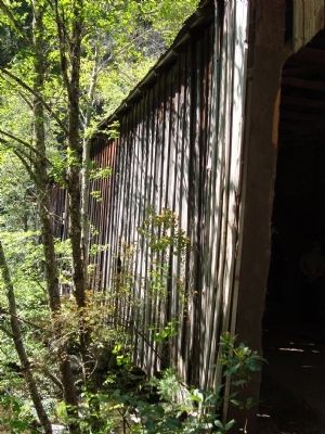
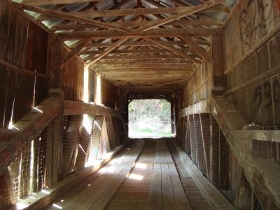
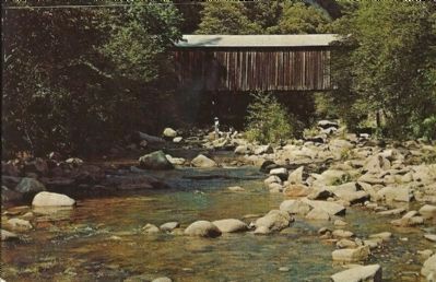
Oregon Creek Covered Bridge
Erected by Native Daughters of the Golden West, Columbia Parlor No. 70.
Topics and series. This historical marker is listed in this topic list: Bridges & Viaducts. In addition, it is included in the Covered Bridges, and the Native Sons/Daughters of the Golden West series lists. A significant historical year for this entry is 1860.
Location. 39° 23.813′ N, 121° 4.957′ W. Marker is in Camptonville, California, in Yuba County. Marker is on Alleghany Ridge Road. Heading north on Highway 49 from North San Juan take the road that bears right after the "Oregon Creek Day Use Area" sign. Touch for map. Marker is in this post office area: Camptonville CA 95922, United States of America. Touch for directions.
Other nearby markers. At least 8 other markers are within 5 miles of this marker, measured as the crow flies. Marysville to Virginia City in 32 Hours (here, next to this marker); North San Juan United Methodist Church (approx. 2.1 miles away); North San Juan Fire Department (approx. 2.2 miles away); Wells Fargo & Company / North San Juan - 1853 (approx. 2.2 miles away); Old North San Juan School (approx. 2.4 miles away); Bullards Bar Dam and Reservoir (approx. 2.6 miles away); Acton Meek Cleveland (approx. 4.2 miles away); Robert Campton (approx. 4.2 miles away). Touch for a list and map of all markers in Camptonville.
Also see . . .
1. Oregon Creek Bridge. This website includes a picture of the Oregon Creek Covered Bridge marker from a distance. (Submitted on November 28, 2012, by Barry Swackhamer of Brentwood, California.)
2. Oregon Creek Covered Bridge. Wikipedia entry (Submitted on January 8, 2021, by Larry Gertner of New York, New York.)
Credits. This page was last revised on January 8, 2021. It was originally submitted on November 28, 2012, by Barry Swackhamer of Brentwood, California. This page has been viewed 769 times since then and 27 times this year. Last updated on June 14, 2013, by Barry Swackhamer of Brentwood, California. Photos: 1, 2, 3, 4, 5. submitted on November 28, 2012, by Barry Swackhamer of Brentwood, California. 6. submitted on February 5, 2013. • Syd Whittle was the editor who published this page.
