Near Chester in Plumas County, California — The American West (Pacific Coastal)
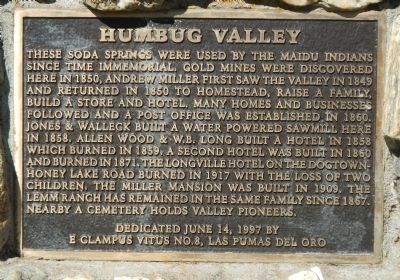
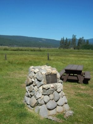
Humbug Valley
Erected 1997 by E Clampus Vitus, Las Plumas del Oro Chapter No. 8.
Topics and series. This historical marker is listed in this topic list: Natural Resources. In addition, it is included in the E Clampus Vitus series list. A significant historical year for this entry is 1850.
Location. 40° 8.514′ N, 121° 14.659′ W. Marker is near Chester, California, in Plumas County. Marker is on Forest Service Road 26N26, on the right when traveling south. Touch for map. Marker is in this post office area: Chester CA 96020, United States of America. Touch for directions.
Other nearby markers. At least 8 other markers are within 10 miles of this marker, measured as the crow flies. Tasman Koyom (here, next to this marker); Soda Spring (a few steps from this marker); Baccala Ranch (approx. 6.3 miles away); Seneca (approx. 8.7 miles away); Cedar Chalet Bakery (approx. 9.3 miles away); Feather River Highway (approx. 9.3 miles away); Eby Stamp Mill (approx. 9.3 miles away); Rich Bar (approx. 9.4 miles away). Touch for a list and map of all markers in Chester.
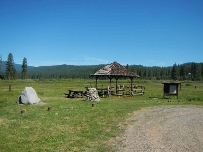
More about this marker. This marker is located at Soda Springs. To reach Soda Springs from Lake Almanor take Humbug Road (County Road 307), then, at approximately mile post 6, take an unsigned road south toward the PG&E Yellow Creek campground. Soda Springs is about one mile south of the intersection.
Credits. This page was last revised on June 16, 2016. It was originally submitted on June 18, 2013, by Barry Swackhamer of Brentwood, California. This page has been viewed 1,404 times since then and 90 times this year. Photos: 1, 2, 3. submitted on June 18, 2013, by Barry Swackhamer of Brentwood, California. • Syd Whittle was the editor who published this page.
Editor’s want-list for this marker. Photos of the cemetery mentioned in marker text. • Can you help?


