Magnolia Springs in Baldwin County, Alabama — The American South (East South Central)
Magnolia Springs, Alabama
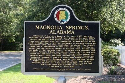
Front:
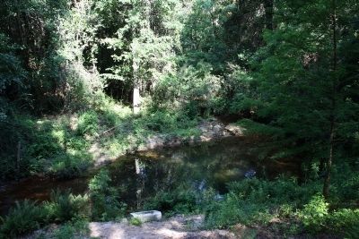
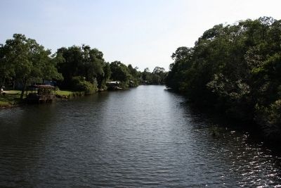
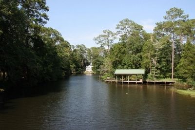
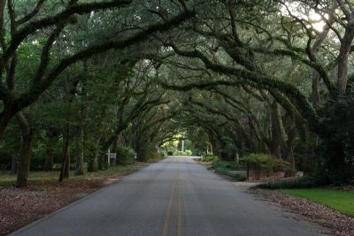
Settlement of this area began in the early 1700ís and was expedited by a series of Spanish land grants in the early 1800ís. During the 1819-33 time period a brick factory along the south river bank supplied brick for construction of Fort Morgan at the mouth of Mobile Bay. In 1891 the community of Magnolia Springs was established when the first subdivision was platted. The villageís name was a combination of two local assets - the ever-flowing springs and the towering canopy of magnolia trees. Nestled along the banks of the Magnolia River, the village drew residents from Alabama, Vermont, Illinois, and Missouri. Those early settlers built homes and businesses along the main transportation artery, the Magnolia River. Early businesses included turpentine, lumber and mercantile operations. Inns and hotels were established for the growing tourist trade. Steamers, such as the “The Magnolia” brought supplies and passengers to the area. Today, mail is still delivered by boat, as it has been since 1916. It is the last year-round river mail delivery in the U.S.
(Continued on other side)
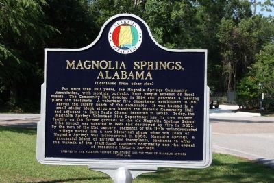
Reverse:
(Continued from other side)
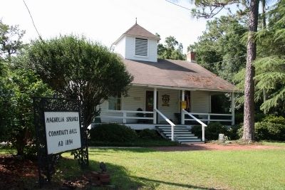
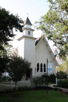
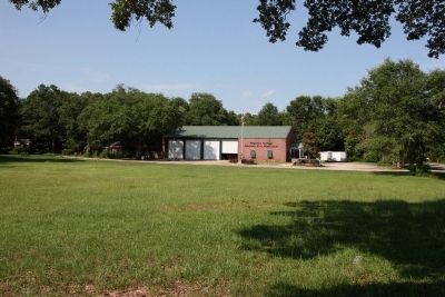
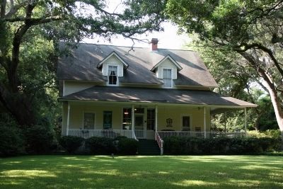
For more than 100 years, the Magnolia Springs Community Association, with monthly potlucks, kept people abreast of local events. The Community Hall erected in 1894 still provides a meeting place for residents. A volunteer fire department established in 1961 serves the safety needs of the community. It was housed in a small cinder block structure behind the historic Community Hall and adjacent to Saint Paulís Chapel (erected in 1902). Today, the Magnolia Springs Volunteer Fire Department has its own modern facility on the former grounds of the old Magnolia Springs School (the school was erected in 1927 and destroyed by fire in 1985). By the turn of the 21st century, residents of the little unincorporated village moved into a new historical phase when the Town of Magnolia Springs was incorporated in 2006. Magnolia Springs, a successful blend of natives and transplants, continues to offer the warmth of the traditional southern hospitality and appeal of treasured historic heritage.
Erected by the Alabama Tourism Department and the Town of Magnolia Springs July 2010
Erected 2010 by Alabama Tourism Department and the Town of Magnolia Springs.
Topics. This historical marker is listed in this topic list: Settlements & Settlers. A significant historical year for this entry is 1891.
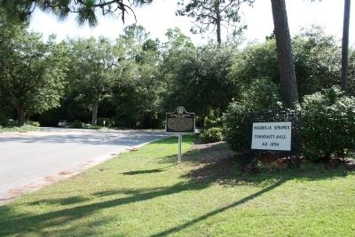
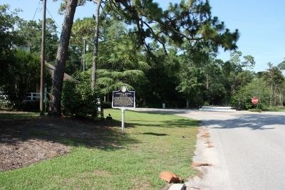
Location. 30° 24.085′ N, 87° 46.265′ W. Marker is in Magnolia Springs, Alabama, in Baldwin County. Marker is on Oak Street west of Magnolia Springs Highway, on the right when traveling west. Touch for map. Marker is at or near this postal address: 14755 Oak Street, Magnolia Springs AL 36555, United States of America. Touch for directions.
Other nearby markers. At least 8 other markers are within 7 miles of this marker, measured as the crow flies. The Springs (about 700 feet away, measured in a direct line); Cobb's Light (approx. 5.2 miles away); City of Foley Camellia Walk (approx. 5.3 miles away); City of Foley (approx. 5.3 miles away); Sonora Community / Sonora School and Community Hall (approx. 5.3 miles away); Barnwell / Cavanac (approx. 6.4 miles away); Summerdale / Summerdale's Turpentine Still (approx. 6.4 miles away); The Charles Swift Family / Swift Coles Historic Home (approx. 6.7 miles away).
Credits. This page was last revised on July 25, 2018. It was originally submitted on June 25, 2013, by Timothy Carr of Birmingham, Alabama. This page has been viewed 1,865 times since then and 105 times this year. Photos: 1, 2, 3, 4, 5, 6, 7, 8, 9, 10, 11, 12, 13. submitted on June 25, 2013, by Timothy Carr of Birmingham, Alabama. • Bill Pfingsten was the editor who published this page.
