Locust Point Industrial Area in Baltimore, Maryland — The American Northeast (Mid-Atlantic)
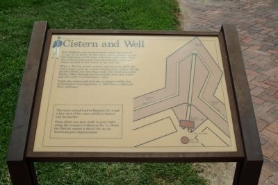
Cistern and Well
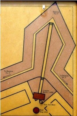
Fort McHenry was surrounded by water, but none of it was fit to drink. In the early years, soldiers rowed into Baltimore to fill casks with fresh well water. They also collected rainwater from the barracks' roofs in a cistern located in this corner of the star fort.
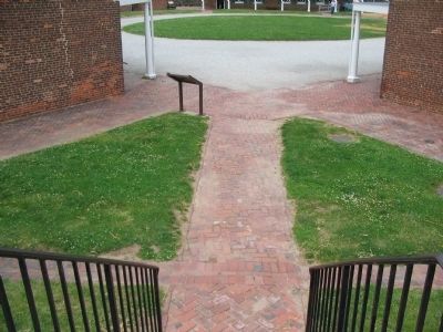
When a British attack seemed imminent in 1813, the Army began work on a more reliable water source. On the parade behind you they dug a well. The shaft descended 95 feet (29m) through layers of earth, mud, foul water, and clay until it reached pure water.
Today the cistern and well are no longer visible, but archeological investigations in 1978 have confirmed their existence.
(inset)
The stairs ahead lead to Bastion No. 4 and a fine view of the outer artillery battery and the harbor.
From there you may walk to your right along the rampart to Bastion No. 3, where the British scored a direct hit on an American gun emplacement.
Erected by National Park Service, U.S. Department of the Interior.
Topics. This historical marker is listed in these topic lists: Forts and Castles • War of 1812. A significant historical year for this entry is 1813.
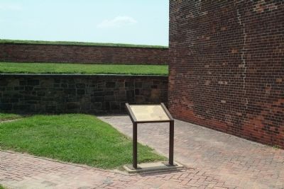
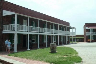
Location. 39° 15.781′ N, 76° 34.795′ W. Marker is in Baltimore, Maryland. It is in the Locust Point Industrial Area. Marker can be reached from East Fort Avenue. The marker is at the edge of the Parade Ground between the two buildings that are the enlisted men's barracks. Touch for map. Marker is at or near this postal address: 2400 E Fort Ave, Baltimore MD 21230, United States of America. Touch for directions.
Other nearby markers. At least 8 other markers are within walking distance of this marker. 1814 Enlisted Men's Barracks, No 2 (within shouting distance of this marker); Mortars vs. Guns (within shouting distance of this marker); Civil War Guardhouse (within shouting distance of this marker); Ravelin Magazine (within shouting distance of this marker); Direct Hits (within shouting distance of this marker); Commanding Officer’s Quarters (within shouting distance of this marker); Providing For The Common Defense (within shouting distance of this marker); In Full Glory Reflected (within shouting distance of this marker). Touch for a list and map of all markers in Baltimore.
Also see . . .
1. Fort McHenry National Monument and Historic Shrine. National Park Service (Submitted on August 19, 2010, by Paul Jordan of Burlington, N. C., U. S. A..)
2. Battle of Baltimore. HistoryCentral.com (Submitted on August 19, 2010, by Paul Jordan of Burlington, N. C., U. S. A..)
Credits. This page was last revised on February 17, 2021. It was originally submitted on August 19, 2010, by Paul Jordan of Burlington, N. C., U. S. A.. This page has been viewed 1,032 times since then and 19 times this year. Last updated on July 10, 2013, by Allen C. Browne of Silver Spring, Maryland. Photos: 1, 2, 3. submitted on August 19, 2010, by Paul Jordan of Burlington, N. C., U. S. A.. 4. submitted on August 22, 2010, by Craig Swain of Leesburg, Virginia. 5. submitted on July 10, 2013, by Allen C. Browne of Silver Spring, Maryland. • Bill Pfingsten was the editor who published this page.
