Tuolumne in Tuolumne County, California — The American West (Pacific Coastal)
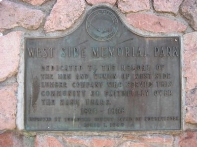
West Side Memorial Park
Erected 1960 by Tuolumne County Board of Supervisors.
Topics. This historical marker is listed in these topic lists: Industry & Commerce • Notable Places.
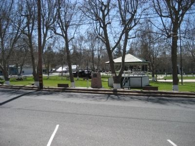
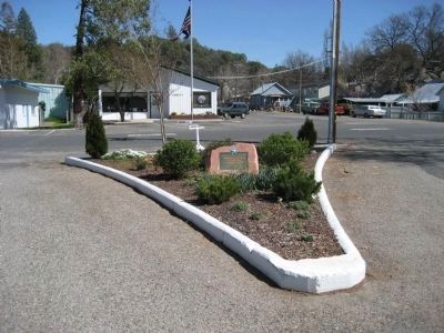
Location. 37° 57.676′ N, 120° 14.282′ W. Marker is in Tuolumne, California, in Tuolumne County. Marker is on Bay Street, on the left when traveling west. It is between Main Street and Pine Street on the north side of the park. Touch for map. Marker is in this post office area: Tuolumne CA 95379, United States of America. Touch for directions.
Other nearby markers. At least 8 other markers are within 3 miles of this marker, measured as the crow flies. Tuolumne Memorial Hall (about 300 feet away, measured in a direct line); Tuolumne (formerly called Summersville) (approx. ¼ mile away); Westside Flume & Lumber Company (approx. 0.4 miles away); Hose Cart House (approx. 0.6 miles away); The Joseph Lord House (approx. 0.6 miles away); Cherokee (approx. 1.4 miles away); Ralph’s Station (approx. 1.8 miles away); Soulsbyville (approx. 2.2 miles away). Touch for a list and map of all markers in Tuolumne.
Credits. This page was last revised on June 16, 2016. It was originally submitted on March 28, 2008, by Richard Wisehart of Sonora, California. This page has been viewed 1,123 times since then and 25 times this year. Photos: 1, 2. submitted on March 28, 2008, by Richard Wisehart of Sonora, California. 3. submitted on April 1, 2008, by Richard Wisehart of Sonora, California. • Kevin W. was the editor who published this page.


