Lompoc in Santa Barbara County, California — The American West (Pacific Coastal)
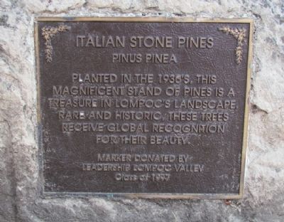
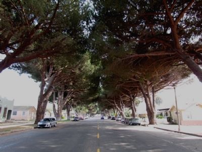
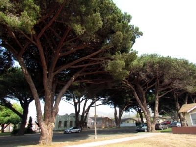
Italian Stone Pines
Pinus Pinea
Erected 1997 by Leadership Lompoc Valley.
Topics. This historical marker is listed in this topic list: Horticulture & Forestry.
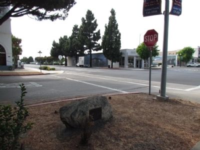
Location. 34° 38.231′ N, 120° 27.466′ W. Marker is in Lompoc, California, in Santa Barbara County. Marker is at the intersection of South H Street and E. Cypress Avenue, on the left when traveling south on South H Street. Marker is located in front of the Lompoc Museum. Touch for map. Marker is at or near this postal address: 200 South H Street, Lompoc CA 93436, United States of America. Touch for directions.
Other nearby markers. At least 8 other markers are within 6 miles of this marker, measured as the crow flies. Lompoc Carnegie Library (here, next to this marker); Lompoc World War I Monument (a few steps from this marker); Lompoc's Mission Vieja (within shouting distance of this marker); Tragedy of Point Pedernales / Honda Point (approx. 0.3 miles away); Original Site of Mission de La Purisima Concepcion de Maria Santisima (approx. 0.4 miles away); La Purisima Mission State Historic Park (approx. 3.1 miles away); La Purisima Mission (approx. 3.6 miles away); a different marker also named La Purisima Mission (approx. 5.3 miles away). Touch for a list and map of all markers in Lompoc.
Credits. This page was last revised on June 16, 2016. It was originally submitted on August 1, 2013, by Duane Hall of Abilene, Texas. This page has been viewed 869 times since then and 29 times this year. Photos: 1, 2, 3, 4. submitted on August 1, 2013, by Duane Hall of Abilene, Texas.


