Near Lewiston in Niagara County, New York — The American Northeast (Mid-Atlantic)
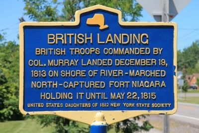
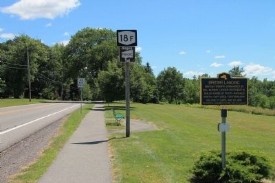
British Landing
Col. Murray landed December 19,
1813 on shore of river - marched
north - captured Fort Niagara
holding it until May 22, 1815.
Erected by United States Daughters of 1812, New York State Society.
Topics and series. This historical marker is listed in this topic list: War of 1812. In addition, it is included in the United States Daughters of 1812, National Society series list. A significant historical date for this entry is May 22, 1830.
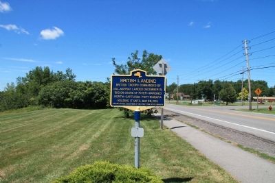
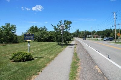
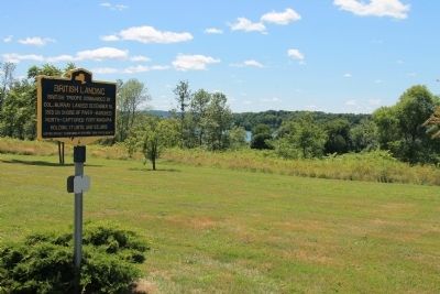
Location. 43° 12.092′ N, 79° 2.53′ W. Marker is near Lewiston, New York, in Niagara County. Marker is on Lower River Road (New York State Route 18F) south of Pletcher Road, on the left when traveling north. The historical marker is located on the river side of the roadway, north of Lewiston, in Lewiston Township, and south of Fort Niagara. Touch for map. Marker is in this post office area: Lewiston NY 14092, United States of America. Touch for directions.
Other nearby markers. At least 8 other markers are within 3 kilometers of this marker, measured as the crow flies. Brown's Point (approx. 0.7 miles away in Canada); The Field House (approx. 1.1 kilometers away in Canada); a different marker also named Brown's Point (approx. 1.3 kilometers away in Canada); Grand View (approx. 1.4 kilometers away); Chloe Cooley and the 1793 Act to Limit Slavery in Upper Canada (approx. 2.1 kilometers away in Canada); Joseph-Geneviere, Comte de Puisaye (approx. 2.2 kilometers away in Canada); Vrooman's Battery (approx. 3 kilometers away in Canada); Freedom Crossing Monument (approx. 3.2 kilometers away). Touch for a list and map of all markers in Lewiston.
Credits. This page was last revised on June 16, 2016. It was originally submitted on August 5, 2013, by Dale K. Benington of Toledo, Ohio. This page has been viewed 482 times since then and 13 times this year. Photos: 1, 2, 3, 4, 5. submitted on August 5, 2013, by Dale K. Benington of Toledo, Ohio.
