Golconda in Humboldt County, Nevada — The American Mountains (Southwest)
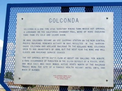
Golconda
In 1868, Golconda became an ore shipping station on the new Central Pacific Railroad. Renewed activity in 1897, resulted in the narrow gauge Golconda and Adelaide Railroad to the Adelaide Mine. Golconda grew to 500 inhabitants by 1899. But the next year the mine and mill closed and railroad service ceased.
The hot springs (97° to 150° F) flow at about 100 gallons per minute. A rare occurrance of tungsten in the silica deposit of a fossil vent, one mile east, was once mined. Active vents north of the railroad tracks were the site of a famous resort hotel until 1961 when it burned.
Erected 1971 by Nevada State Park System and Mrs. Myrtle Fields. (Marker Number 105.)
Topics. This historical marker is listed in these topic lists: Industry & Commerce • Railroads & Streetcars • Settlements & Settlers. A significant historical year for this entry is 1868.
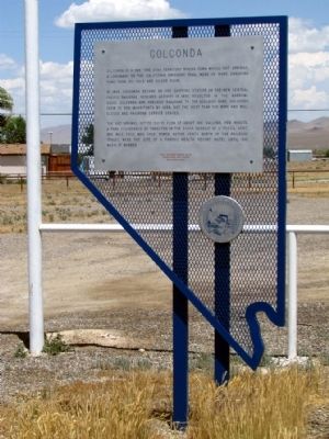
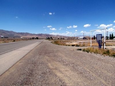
Location. 40° 56.917′ N, 117° 29.194′ W. Marker is in Golconda, Nevada, in Humboldt County. Marker is at the intersection of Old Highway 40 (Nevada Route 789) and Guernsey Street, on the left when traveling east on Old Highway 40. Touch for map. Marker is in this post office area: Golconda NV 89414, United States of America. Touch for directions.
Other nearby markers. At least 5 other markers are within 7 miles of this marker, measured as the crow flies. Button Point (approx. 6˝ miles away); California Trail - Humboldt Sloughs (approx. 6˝ miles away); About Your Journey ... (approx. 6˝ miles away); International Intrigue and the Humboldt River (approx. 6˝ miles away); Humboldt River (approx. 6˝ miles away).
Also see . . . New Amended Text for Marker. The Nevada State Historic Preservation Office (SHPO) recently updated the text of the roughly 260 state historical markers in Nevada. The Nevada SHPO placed the amended text of each individual marker on its website and will change the actual markers in the field as funding allows. Minor changes have been made to the marker for grammar and readability. The link will take you to the Nevada SHPO page for the marker with the amended text. (Submitted on November 12, 2013, by Duane Hall of Abilene, Texas.)
Credits. This page was last revised on June 16, 2016. It was originally submitted on August 8, 2013, by Duane Hall of Abilene, Texas. This page has been viewed 666 times since then and 30 times this year. Photos: 1, 2, 3. submitted on August 8, 2013, by Duane Hall of Abilene, Texas.


