Rootstown in Portage County, Ohio — The American Midwest (Great Lakes)
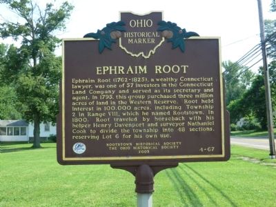
Ephraim Root
Erected 2003 by Rootstown Historical Society-The Ohio Historical Society. (Marker Number 4-67.)
Topics and series. This historical marker is listed in this topic list: Settlements & Settlers. In addition, it is included in the Ohio Historical Society / The Ohio History Connection series list. A significant historical year for this entry is 1795.
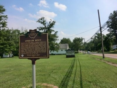
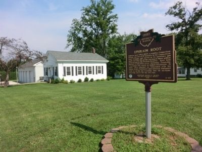
Location. 41° 5.883′ N, 81° 14.55′ W. Marker is in Rootstown, Ohio, in Portage County. Marker is on Ravenna Louisville Road (SR 44) south of Akron Youngstown Road - (a.k.a. - Tallmadge Road), on the left when traveling south. Touch for map. Marker is in this post office area: Rootstown OH 44272, United States of America. Touch for directions.
Other nearby markers. At least 8 other markers are within 8 miles of this marker, measured as the crow flies. Rootstown (here, next to this marker); Benjamin Tappan, Jr. (approx. 3.6 miles away); Portage County Veterans Memorial (approx. 4.1 miles away); 1893 Ravenna Flagpole (approx. 4.1 miles away); Etna House (approx. 4.1 miles away); Abraham Lincoln, Ravenna, Ohio (approx. 4.1 miles away); Kent State University (approx. 6.4 miles away); Kent and the Underground Railroad (approx. 7.2 miles away).
More about this marker. The reverse side of this marker is the marker Rootstown
Credits. This page was last revised on June 16, 2016. It was originally submitted on August 9, 2013, by Don Morfe of Baltimore, Maryland. This page has been viewed 745 times since then and 50 times this year. Photos: 1, 2, 3. submitted on August 9, 2013, by Don Morfe of Baltimore, Maryland. • Al Wolf was the editor who published this page.


