West Columbia in Lexington County, South Carolina — The American South (South Atlantic)
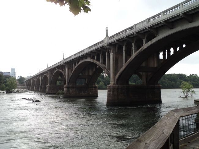
Gervais Street Bridge
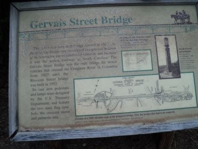
This 1,412-foot-long arch bridge opened in 1927. At the time, the bridge was considered exceptional because of its innovative use of reinforced concrete and because it was the widest roadway in South Carolina. The Gervais Street Bridge was the only bridge for motor vehicles that crossed the Congaree River in Columbia from 1927 until the Blossom Street bridge was built in 1953.
Its cast iron pedestals and lamps were designed by the U.S. Treasury Department , and feature the two state flag symbols, the crescent moon and palmetto tree.
Topics. This historical marker is listed in this topic list: Bridges & Viaducts. A significant historical year for this entry is 1927.
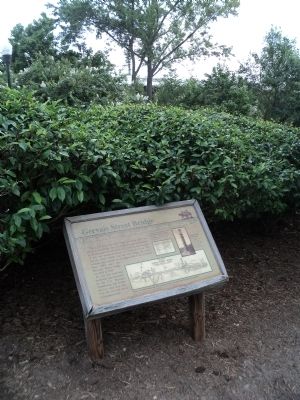
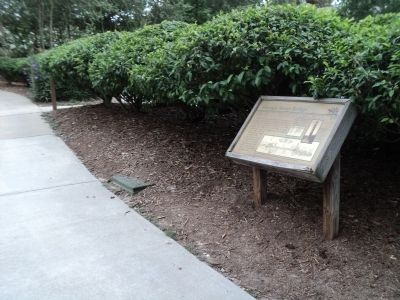
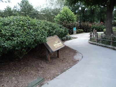
Location. 33° 59.678′ N, 81° 3.158′ W. Marker is in West Columbia, South Carolina, in Lexington County. Marker can be reached from Alexander Road, on the right when traveling north. Marker is located along the Three Rivers Greenway, on the banks of the Congaree River. Touch for map. Marker is in this post office area: West Columbia SC 29169, United States of America. Touch for directions.
Other nearby markers. At least 8 other markers are within walking distance of this marker. River Inn, c. 1740s (here, next to this marker); “City of Columbia” Anchor (a few steps from this marker); Friday’s Ferry (a few steps from this marker); Old Congaree River Bridges (within shouting distance of this marker); Milestones (about 300 feet away, measured in a direct line); Congaree River Bridges (approx. ¼ mile away); 1896 Power Plant (approx. ¼ mile away); a different marker also named Gervais Street Bridge (approx. ¼ mile away). Touch for a list and map of all markers in West Columbia.
More about this marker. The top of the marker features a picture of “Drawing details from the many 1925 construction drawings. Courtesy of the South Carolina Department of Highways and Public Transportation.” Next to this is a photo of “Detail of lamp and pedestal [on the bridge]. Photograph by Jack Boucher, 1986. Courtesy of the Library of Congress, Prints and Photographs Division. Historic American Engineering Record. HAER, SC-16-10.” The bottom of the marker contains a drawing showing a “Portion of a 1925 site plan map of the proposed [Gervais Street] bridge. Note the houses that had to be removed. Courtesy of the South Carolina Department of Highways and Public Transportation.”
Credits. This page was last revised on June 16, 2016. It was originally submitted on August 16, 2013, by Bill Coughlin of Woodland Park, New Jersey. This page has been viewed 491 times since then and 29 times this year. Photos: 1, 2, 3, 4, 5. submitted on August 16, 2013, by Bill Coughlin of Woodland Park, New Jersey.
