Throop in Lackawanna County, Pennsylvania — The American Northeast (Mid-Atlantic)
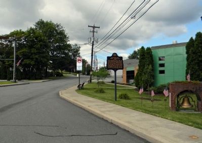
Anthracite Mine Disaster
Erected 1994 by Pennsylvania Historical and Museum Commission.
Topics and series. This historical marker is listed in this topic list: Disasters. In addition, it is included in the Pennsylvania Historical and Museum Commission series list. A significant historical date for this entry is April 7, 1911.
Location. 41° 26.758′ N, 75° 37.227′ W. Marker is in Throop, Pennsylvania, in Lackawanna County. Marker is at the intersection of Sanderson Street and Charles Street, on the right when traveling south on Sanderson Street. Touch for map. Marker is at or near this postal address: 436 Sanderson Street, Scranton PA 18512, United States of America. Touch for directions.
Other nearby markers. At least 8 other markers are within walking distance of this marker. Throop (here, next to this marker); War Memorial (here, next to this marker); Penn State Scranton Veterans Memorial (approx. 0.4 miles away); Penn State Scranton (approx. 0.4 miles away); Blessed Sacrament Parish (approx. half a mile away); World Wars Memorial (approx. half a mile away); Our Lady of Victory Shrine (approx. half a mile away); Veterans Memorial (approx. 0.6 miles away). Touch for a list and map of all markers in Throop.
Also see . . .
1. Times-Tribune: Seventy-two men and boys perished in agony in the Pancoast Mine Disaster. (Submitted on August 20, 2013, by PaulwC3 of Northern, Virginia.)
2. PA Mine Inspection 1911: Mine Fire at the Pancoast Mine. (Submitted on August 20, 2013, by PaulwC3 of Northern, Virginia.)
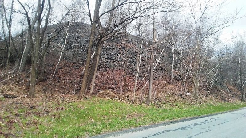
3. Pennsylvania anthracite culm heaps: A burning issue (2015). (Submitted on April 30, 2018, by William Fischer, Jr. of Scranton, Pennsylvania.)
Credits. This page was last revised on April 30, 2018. It was originally submitted on August 20, 2013, by PaulwC3 of Northern, Virginia. This page has been viewed 772 times since then and 35 times this year. Photos: 1, 2. submitted on August 20, 2013, by PaulwC3 of Northern, Virginia. 3. submitted on April 30, 2018, by William Fischer, Jr. of Scranton, Pennsylvania.


