Near Harrodsburg in Mercer County, Kentucky — The American South (East South Central)
Neighbors-Governors / Mercer Governors
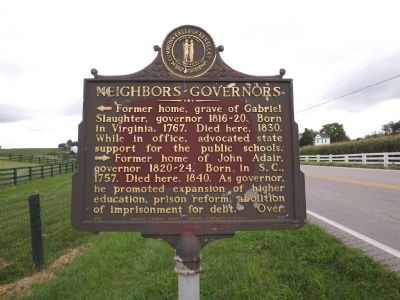
Neighbors-Governors?
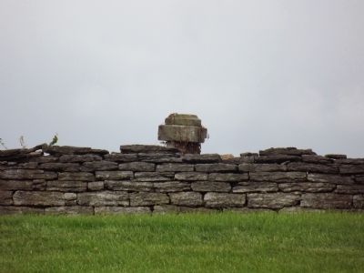
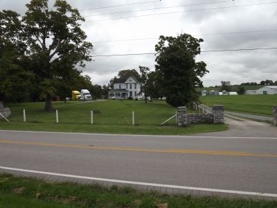
<--- Former home, grave, of Gabriel Slaughter, governor 1816-20. Born in Virginia, 1767. Died here, 1830. While in office, advocated state support for the public schools.
---> Former home of John Adair, governor 1820-24. Born in S.C., 1757. Died here, 1840. As governor, he promoted expansion of higher education, prison reform, abolition of imprisonment for debt.
Over.
(Reverse)
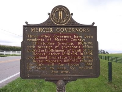
Mercer Governors
Three other governors have been residents of Mercer County:
Christopher Greenup, 1804-8, with prestige of governor's office backed establishment of Bank of Kentucky.
Robert Letcher, 1840-44. In 1844, proclaimed first state Thanksgiving.
Beriah Magoffin, 1859-62, refused Lincoln's call for troops, 1861, in effort to keep Ky. neutral.
See over.
Erected 1970 by Kentucky Historical Society & Kentucky Department of Highways. (Marker Number 1325.)
Topics and series. This historical marker is listed in these topic lists: Government & Politics • Settlements & Settlers. In addition, it is included in the Kentucky Historical Society series list. A significant historical year for this entry is 1767.
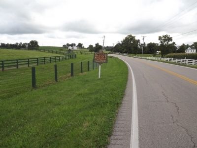
Location. 37° 47.978′ N, 84° 47.166′ W. Marker is near Harrodsburg, Kentucky, in Mercer County. Marker is on Lexington Road (U.S. 68) south of Chinn Lane, on the right when traveling west. Touch for map. Marker is at or near this postal address: 2127 Lexington Road, Harrodsburg, Kentucky, Harrodsburg KY 40330, United States of America. Touch for directions.
Other nearby markers. At least 8 other markers are within 3 miles of this marker, measured as the crow flies. Fairview (approx. 0.6 miles away); Gabriel Slaughter (approx. 1.2 miles away); Abraham Chapline Plantation / Rufus Henry Vandarsdall House (approx. 1˝ miles away); Boone's Cave (approx. 1.6 miles away); Rev. John Rice (approx. 2 miles away); John Gordon's Station (approx. 2 miles away); Shakertown at Pleasant Hill (approx. 2.8 miles away); "Morgan's Men" Here (approx. 2.8 miles away). Touch for a list and map of all markers in Harrodsburg.
Credits. This page was last revised on June 16, 2016. It was originally submitted on August 31, 2013, by Ken Smith of Milan, Tennessee. This page has been viewed 513 times since then and 37 times this year. Photos: 1, 2, 3, 4, 5, 6. submitted on August 31, 2013, by Ken Smith of Milan, Tennessee. • Al Wolf was the editor who published this page.
