Carthage in Smith County, Tennessee — The American South (East South Central)
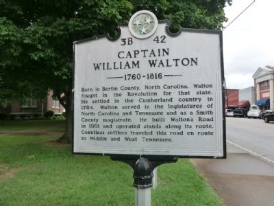
Captain William Walton
1760-1816
Erected by Tennessee Historical Commission. (Marker Number 3B 42.)
Topics and series. This historical marker is listed in these topic lists: Government & Politics • Patriots & Patriotism. In addition, it is included in the Tennessee Historical Commission series list. A significant historical year for this entry is 1784.
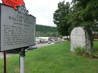
Location. 36° 15.078′ N, 85° 57.133′ W. Marker is in Carthage, Tennessee, in Smith County. Marker is on Main Street north of 2nd Avenue, on the left when traveling north. Touch for map. Marker is in this post office area: Carthage TN 37030, United States of America. Touch for directions.
Other nearby markers. At least 8 other markers are within walking distance of this marker. Benton McMillin (here, next to this marker); Smith County Courthouse Square (a few steps from this marker); Bragg Invades Kentucky (a few steps from this marker); Confederacy Memorial (a few steps from this marker); Smith County Veterans Memorial (within shouting distance of this marker); DeFord Bailey (within shouting distance of this marker); Cordell Hull Memorial Bridge (about 400 feet away, measured in a direct line); Edward Stallings (about 700 feet away). Touch for a list and map of all markers in Carthage.
Credits. This page was last revised on January 20, 2020. It was originally submitted on September 3, 2013, by Don Morfe of Baltimore, Maryland. This page has been viewed 1,003 times since then and 32 times this year. Photos: 1, 2. submitted on September 3, 2013, by Don Morfe of Baltimore, Maryland. • Al Wolf was the editor who published this page.

