Adams in Robertson County, Tennessee — The American South (East South Central)
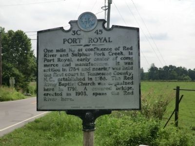
Port Royal
Erected by Tennessee Historical Commission. (Marker Number 3C 45.)
Topics and series. This historical marker is listed in this topic list: Settlements & Settlers. In addition, it is included in the Tennessee Historical Commission series list. A significant historical year for this entry is 1784.
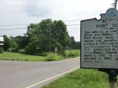
Location. 36° 32.333′ N, 87° 8.117′ W. Marker is in Adams, Tennessee, in Robertson County. Marker is at the intersection of Tennessee Route 76 and Tennessee Route 238, on the right when traveling east on State Route 76. Touch for map. Marker is in this post office area: Adams TN 37010, United States of America. Touch for directions.
Other nearby markers. At least 8 other markers are within 5 miles of this marker, measured as the crow flies. Stores of Port Royal (approx. 1.1 miles away); 1859 Masonic Lodge & General Store (approx. 1.1 miles away); The Town of Port Royal (approx. 1.1 miles away); Renfroe's Station (approx. 3˝ miles away); Joseph Buckner Killebrew (1831-1906) (approx. 4.8 miles away); Red River Church (approx. 4.9 miles away); Bell Witch (approx. 5.1 miles away); Fort Redmond (approx. 5.1 miles away). Touch for a list and map of all markers in Adams.
Credits. This page was last revised on January 20, 2020. It was originally submitted on September 12, 2013, by Don Morfe of Baltimore, Maryland. This page has been viewed 623 times since then and 28 times this year. Photos: 1, 2. submitted on September 12, 2013, by Don Morfe of Baltimore, Maryland. • Al Wolf was the editor who published this page.

