Girdwood in Anchorage, Alaska — Northwest (North America)
1964 Earthquake
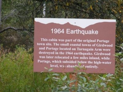
Photographed by Don Morfe, September 11, 2009
1. 1964 Earthquake Marker
Topics. This historical marker is listed in this topic list: Disasters. A significant historical year for this entry is 1964.
Location. 60° 49.291′ N, 148° 58.777′ W. Marker is in Anchorage, Alaska. It is in Girdwood. It is on Steward Highway. This marker is on the grounds of the Alaska Wildlife Conservation Center. Touch for map. Marker is at or near this postal address: 43640 Seward Hwy, Girdwood AK 99587, United States of America. Touch for directions.

Regionally, this marker is in the Alaska Railroad Corridor, in the Athabascan Region, in the Prince William Sound, and in Southcentral Alaska. It is also on the American Pacific Coast. Globally, it is in North America, on the Ring of Fire, on the Pacific Rim, in the Western Hemisphere, in the Western World, and in the Anglosphere. Historically, it finds itself in
this page online
Other nearby markers. At least 7 other markers are within 6 miles of this marker, measured as the crow flies: Moose Calves (about 600 feet away, measured in a direct line); A Prickly World (approx. 0.2 miles away); Our Living National Symbol (approx. 0.2 miles away); Brown Bears of AWCC (approx. 0.2 miles away); Atlantic Salmon-A Threat to the Chugach National Forest? (approx. 4.1 miles away); Coho Salmon Life Cycle (approx. 4.1 miles away); Chugach National Forest (approx. 5.3 miles away).
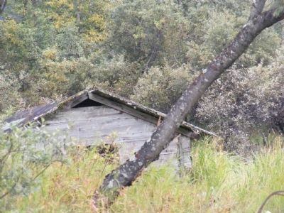
Photographed by Don Morfe, September 11, 2009
2. 1964 Earthquake Marker
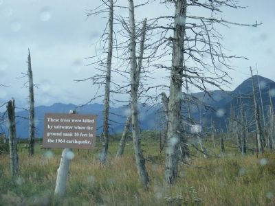
Photographed by Don Morfe, September 11, 2009
3. 1964 Earthquake Marker
These trees were killed by saltwater when the ground sank 10 feet in the 1964 earthquake.
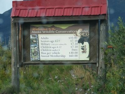
Photographed by Don Morfe, September 11, 2009
4. Sign is located at the entrance to the park.
Credits. This page was last revised on August 22, 2024. It was originally submitted on December 11, 2013, by Don Morfe of Baltimore, Maryland. This page has been viewed 1,183 times since then and 54 times this year. Photos: 1, 2, 3, 4. submitted on December 11, 2013, by Don Morfe of Baltimore, Maryland. • Andrew Ruppenstein was the editor who published this page.
